Near Stroud, Gloucestershire
2nd April 2017 Photos by Hetty
We walked from the King’s Head at Kingscourt, along The Street, through the woods to St Chloe, back along the lane to The Bear at Rodborough, across Rodborough Common and down Bowl Hill. 3.7 miles Map of walk
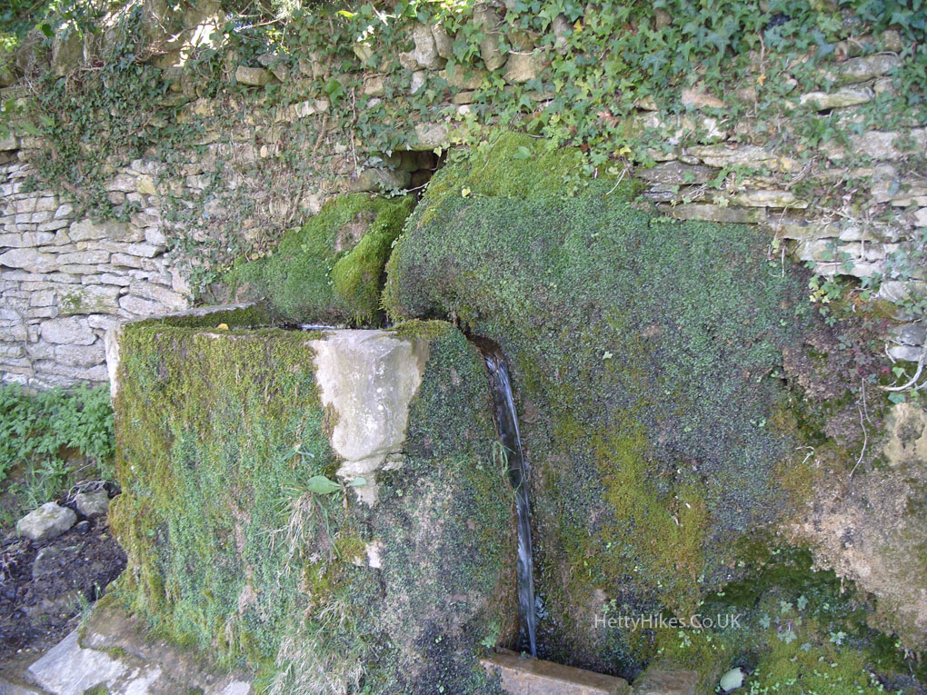
Water comes out of the wall at St Chloe
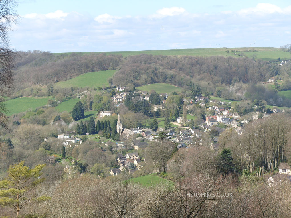
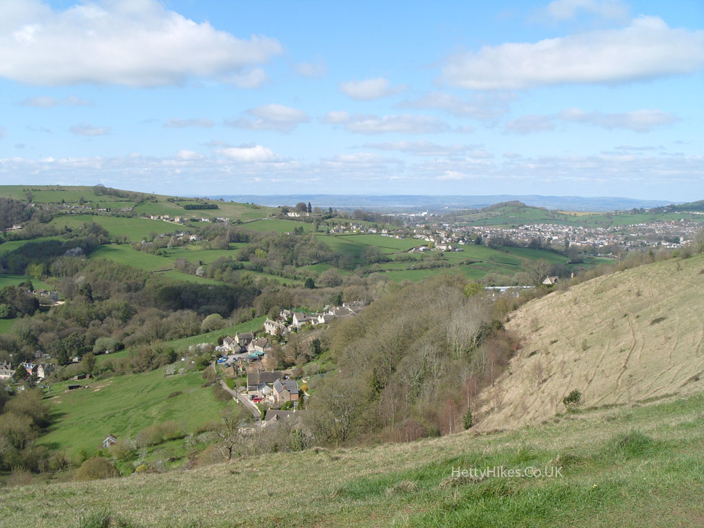
Looking down on North Woodchester
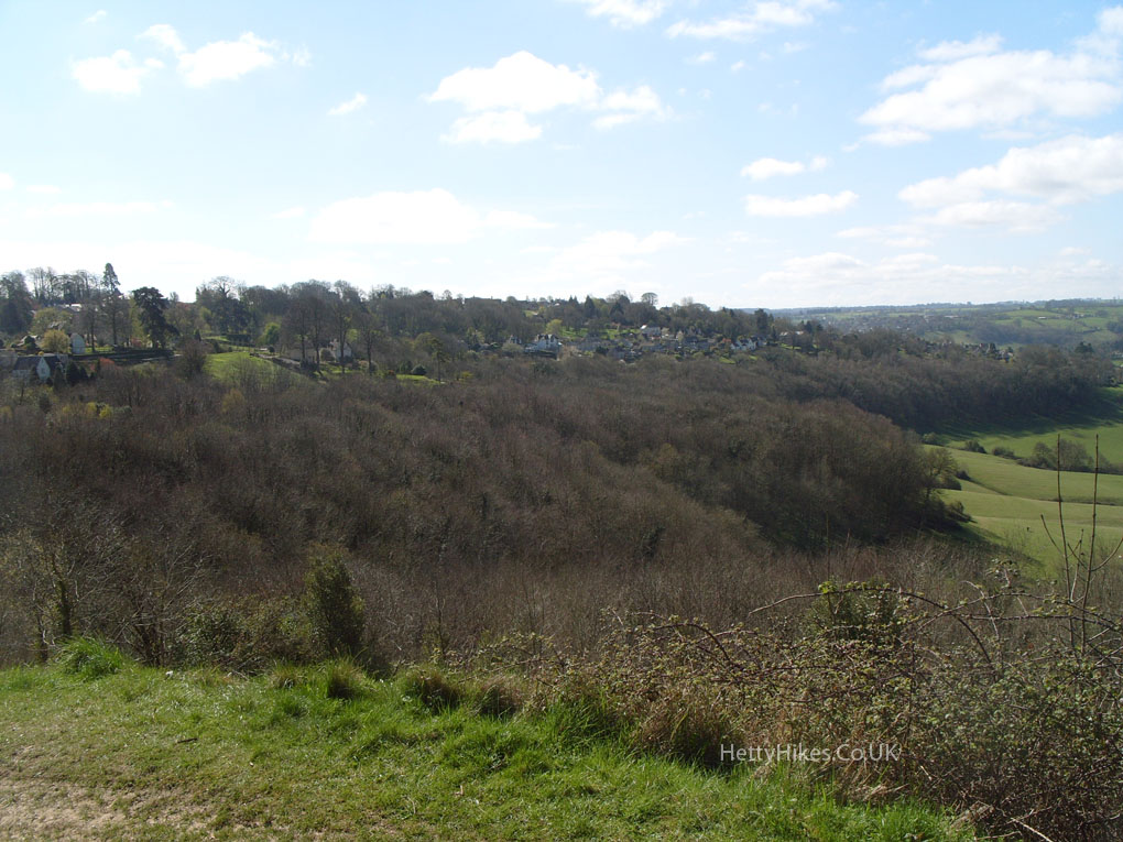
Looking at where we have been – through the woods and back along by the houses
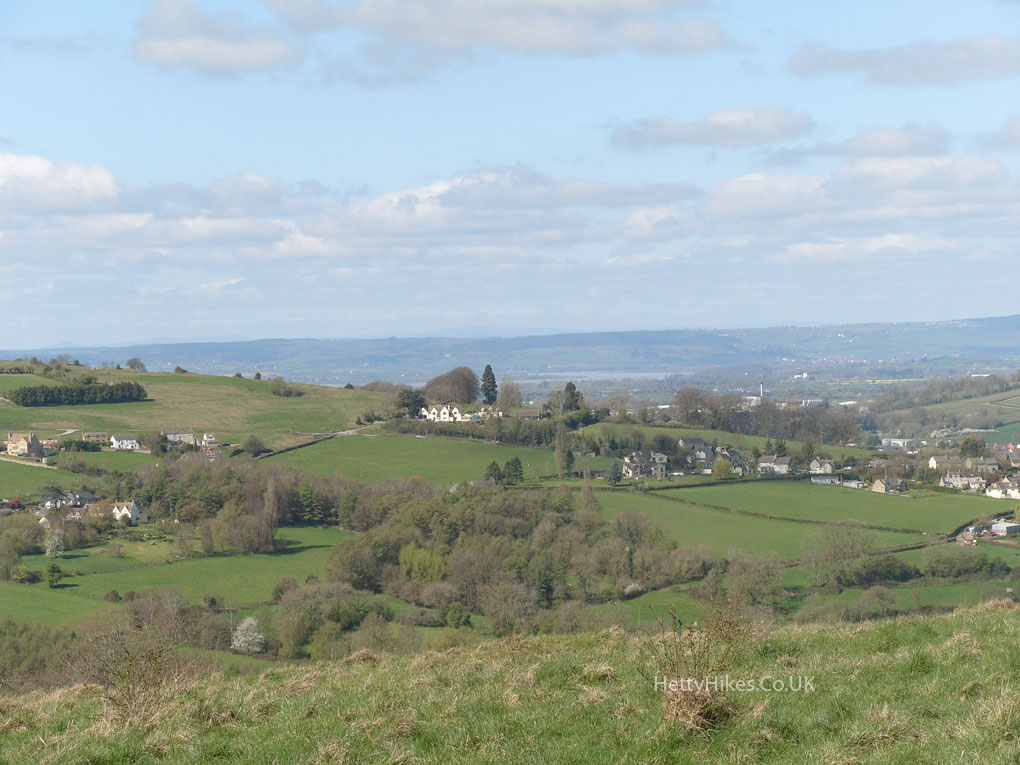
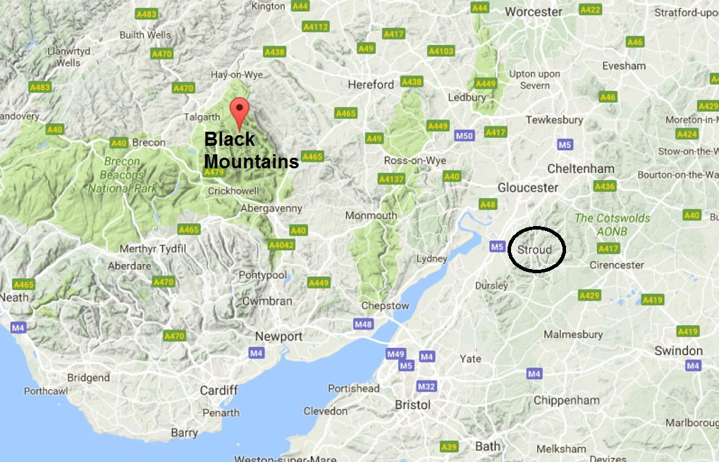
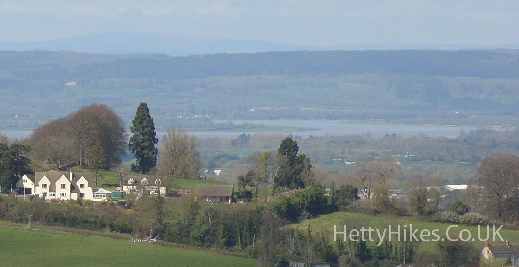
We could see across the River Severn and the Forest of Dean, to the Black Mountains in Wales
The Black Mountains are over 50 miles away
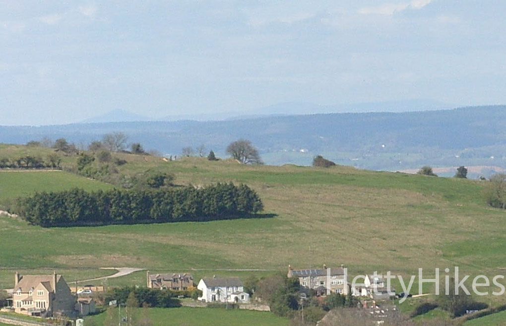
Zooming in – the Sugar Loaf is the triangle in the distance on the left – it is just north of Abergavenny
Black Mountains in the distance
The end is in sight – the blue cars below us
Near by:
All images on the website copyright of HettyHikes.co.uk

