Val Gardena, Dolomites, Italy map of Val Gardena
Monday 16th June 2014, day 11 All photos by Hetty
Map of first walk Seceda to Col Raiser, 3.5 miles, 3h 10min Start of Val Gardena holiday
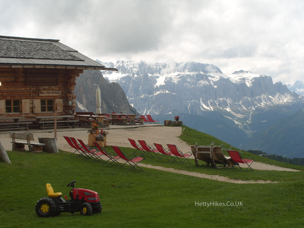
First hike details: Track 1 to Troier Hutte 2271m, then Regensburger Hutte 2040m. Track 4 to Col Raiser 2106m
Second walk: St Christina to St Ulrich 3.2 miles, 2h 10 mins
Our routes are in yellow
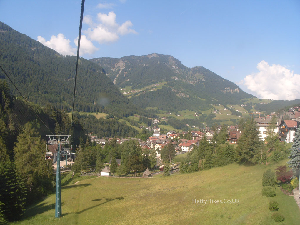
We took the two-stage cable car from St Ulrich to Seceda.
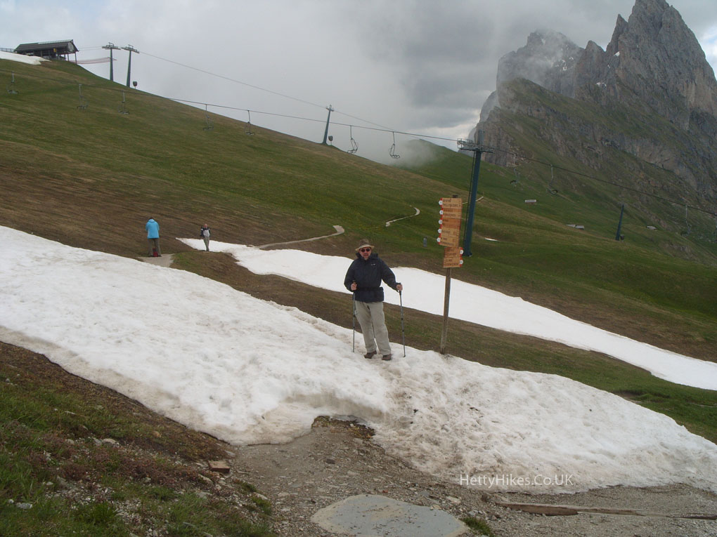
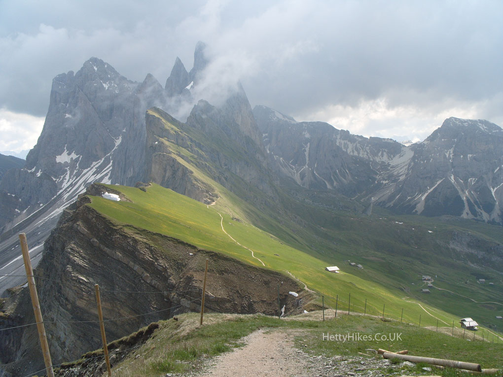
The cable car station is at 2456m, and we walked up to the cross at 2518m = 8260 feet.
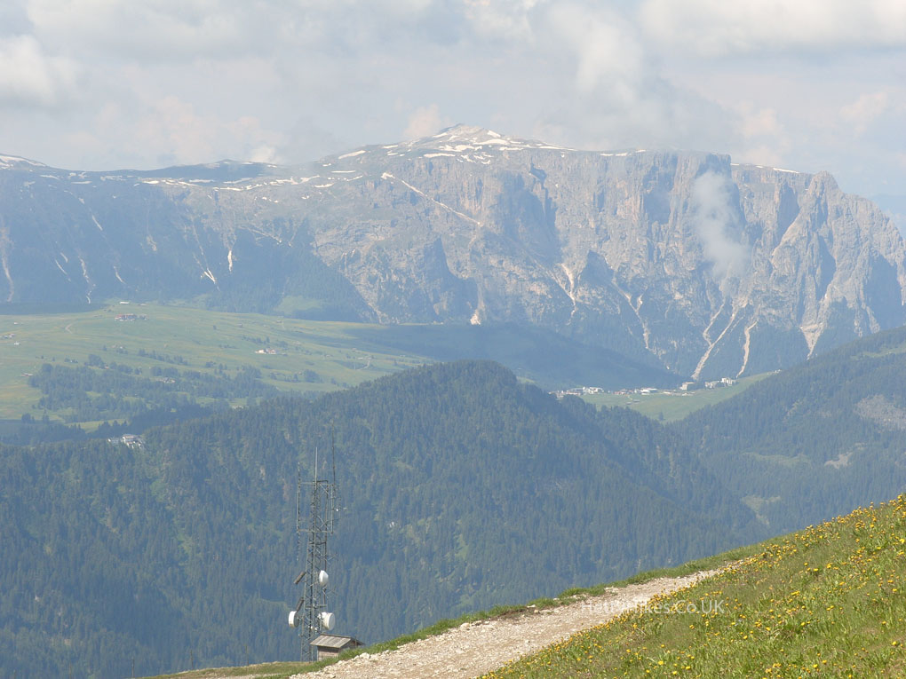
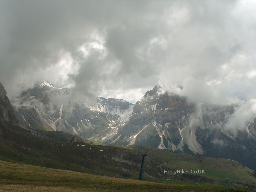
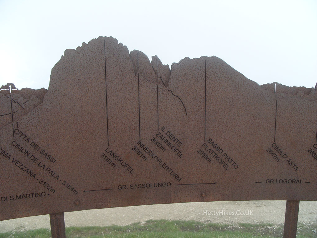
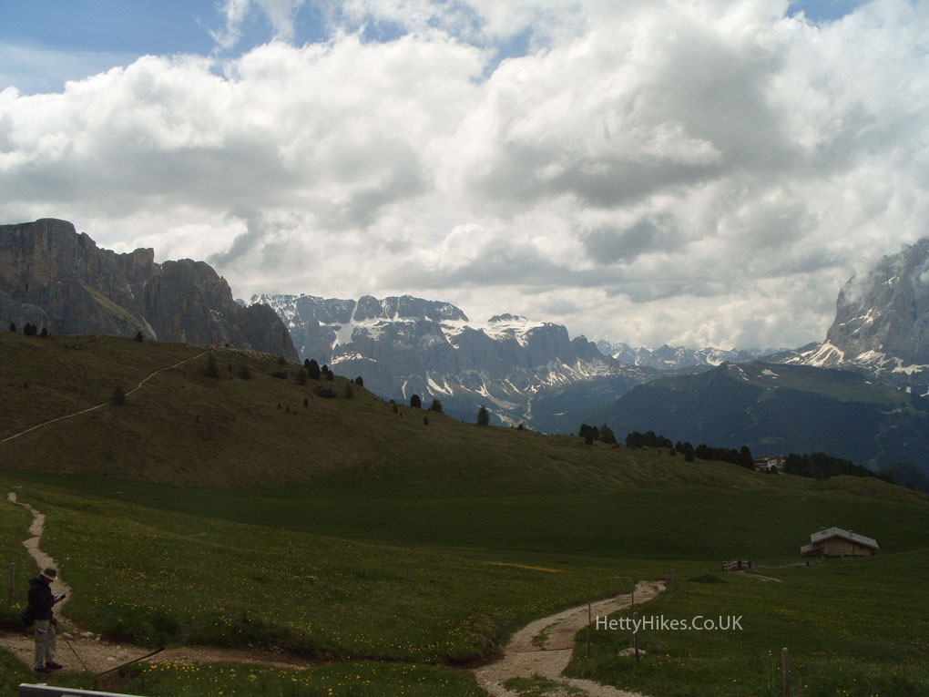
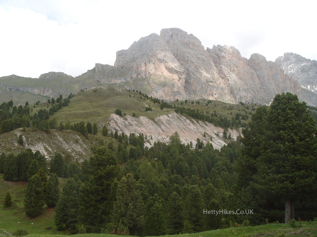
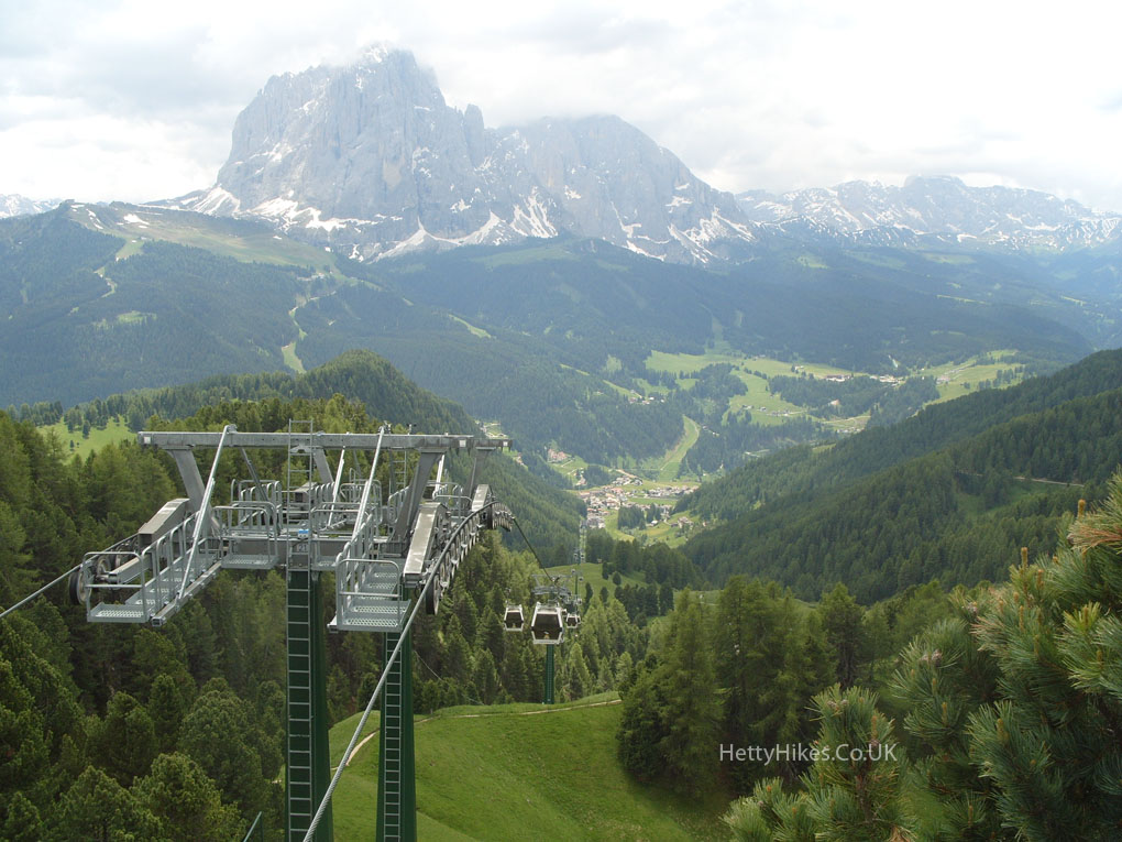
We should have been able to see Sassolungo (Langkofel), but we were up in the clouds and saw it later, lower down.
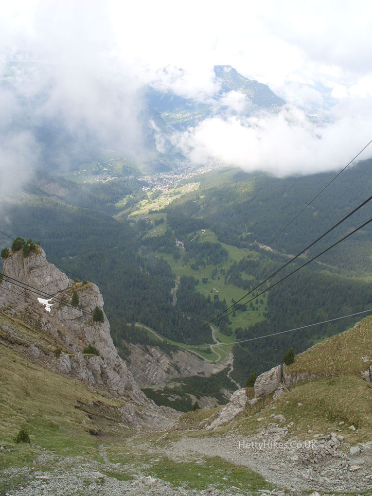
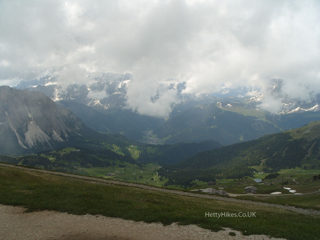
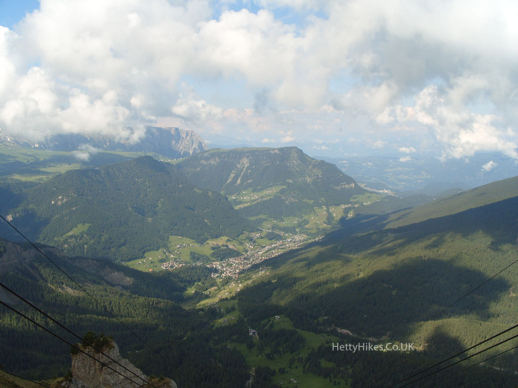
Looking down on Resciesa, where we walked yesterday.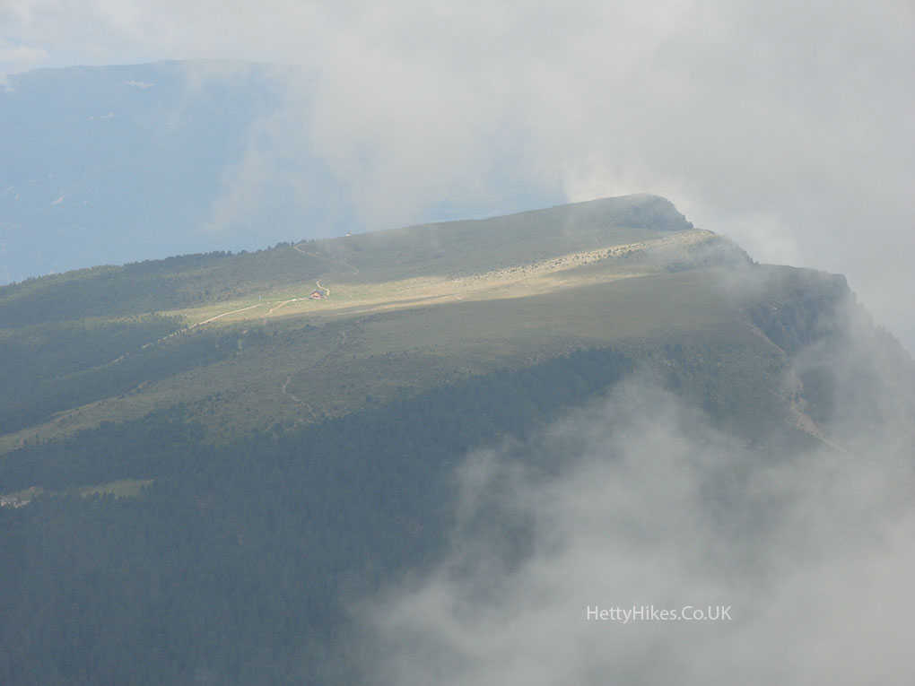
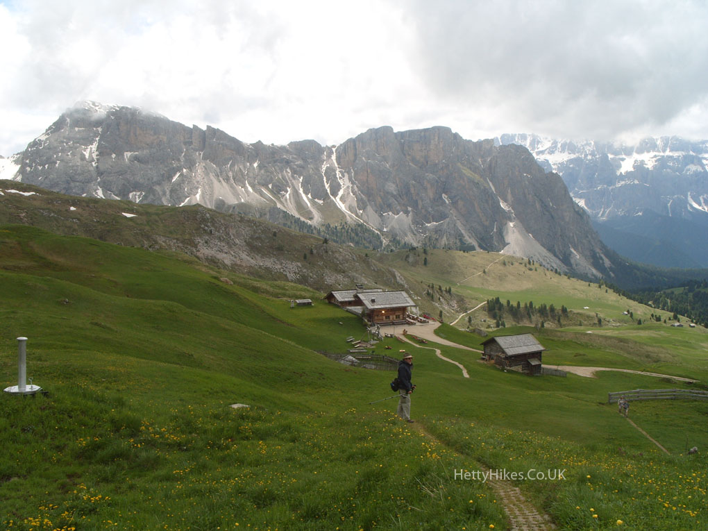
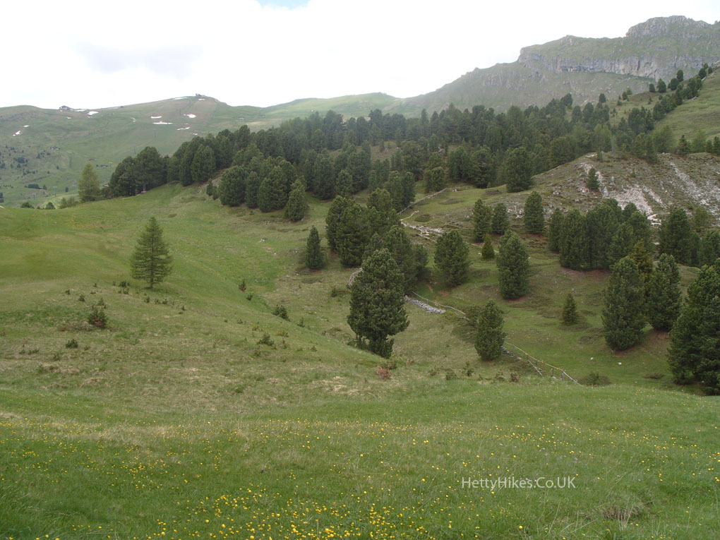
We are walking down there to another cable car. 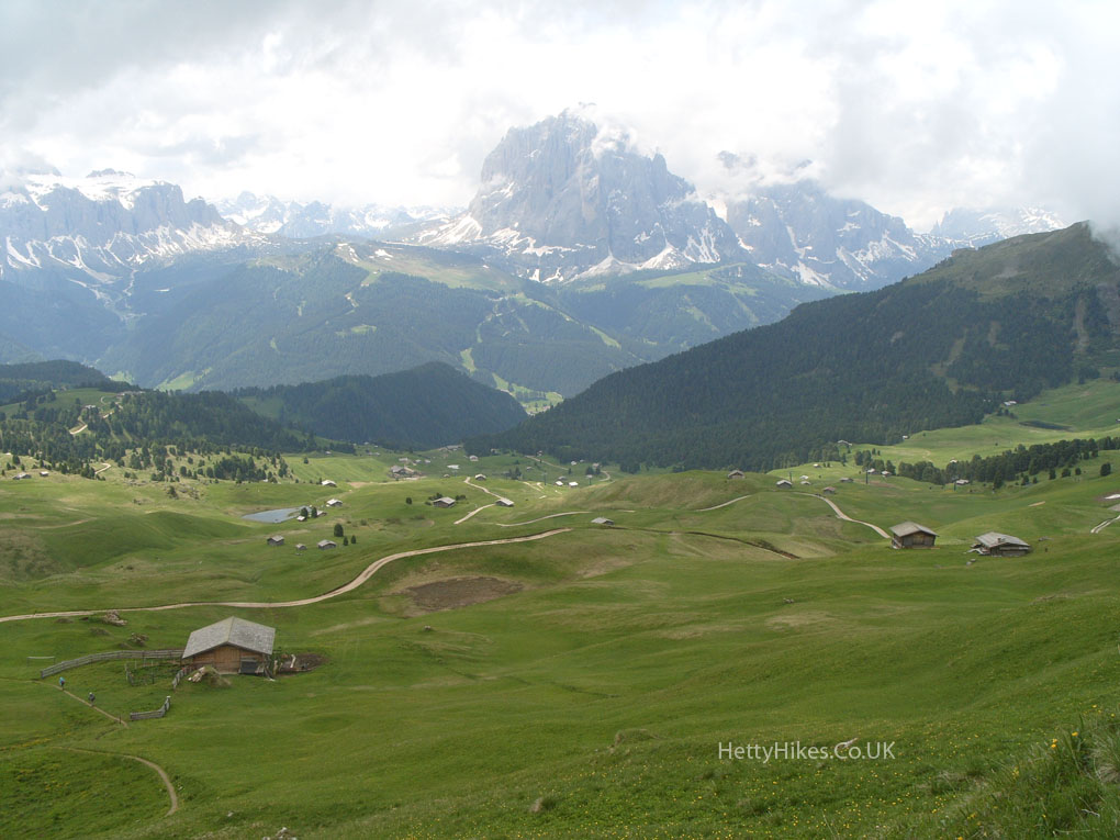
The cable car station at Col Raiser
Cable car to St Christina
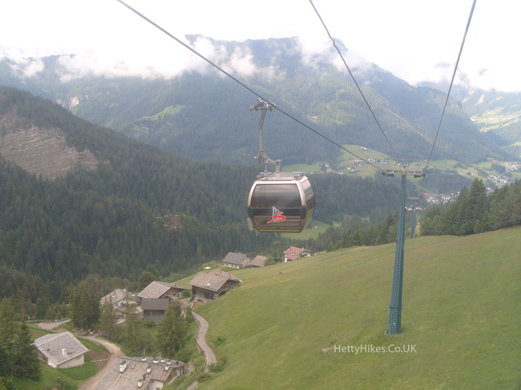
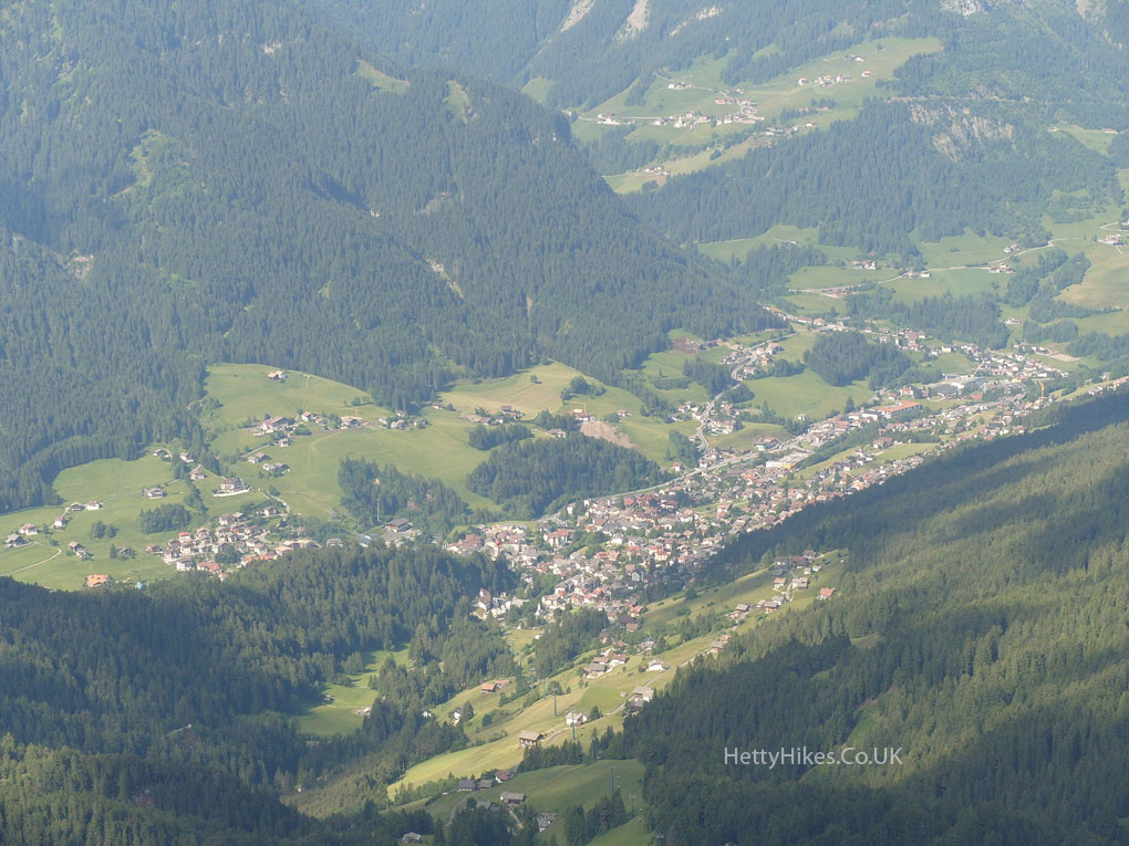
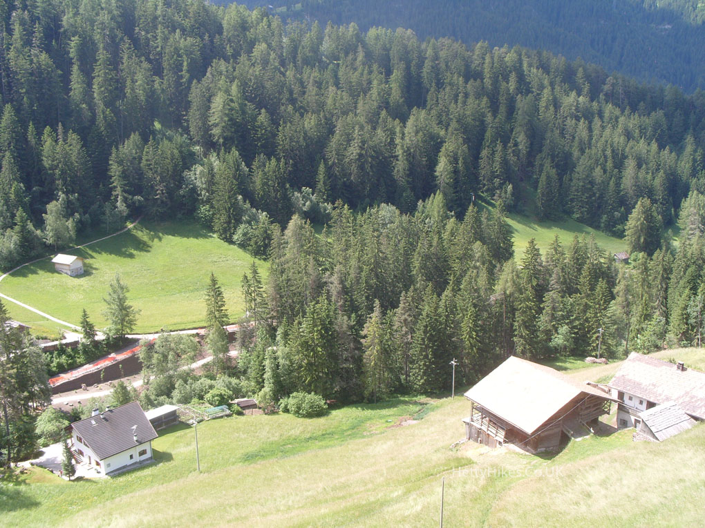
On the way down by cable car to St Christina
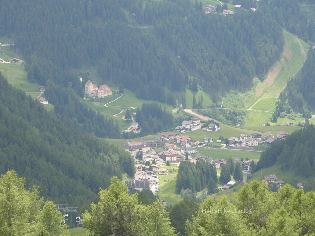
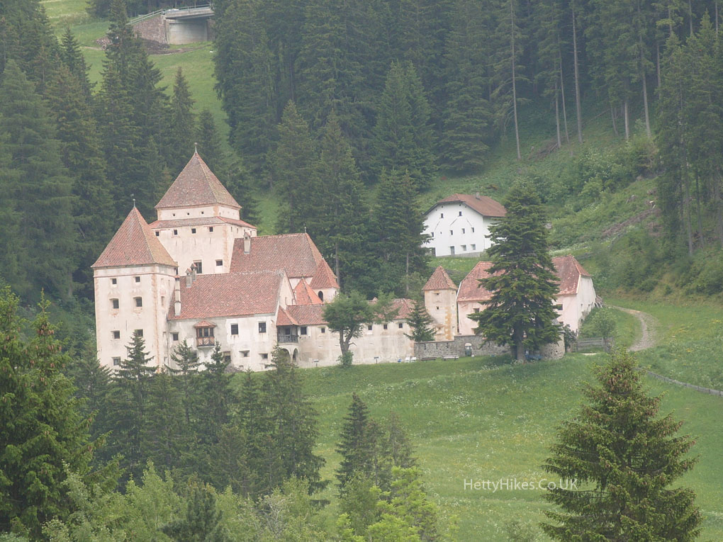
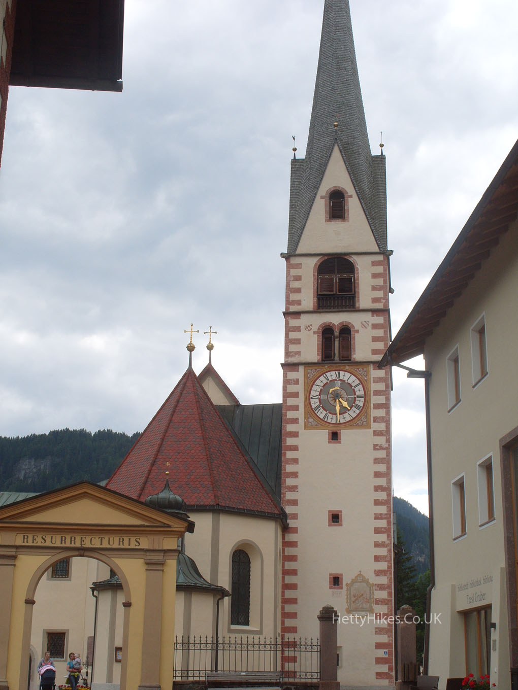
St Christina has pretty houses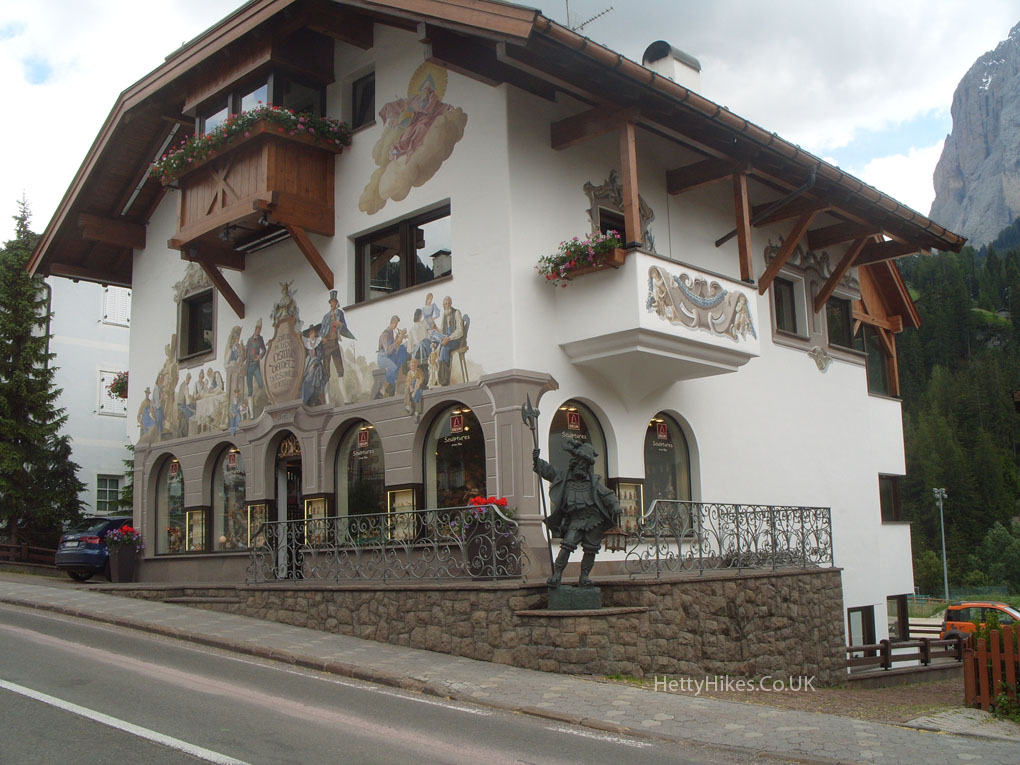
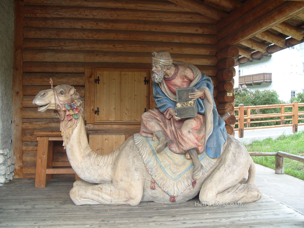
and a life-size model of the nativity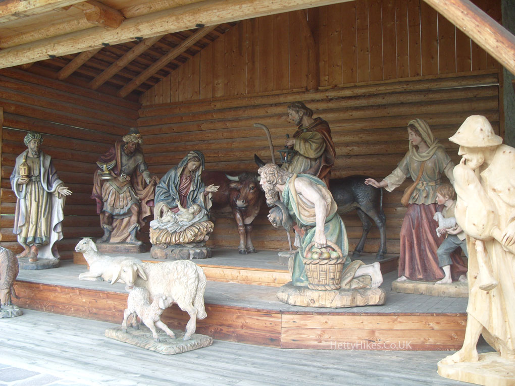
We walked back to St Ulrich along the former railway track
Thursday 19th June
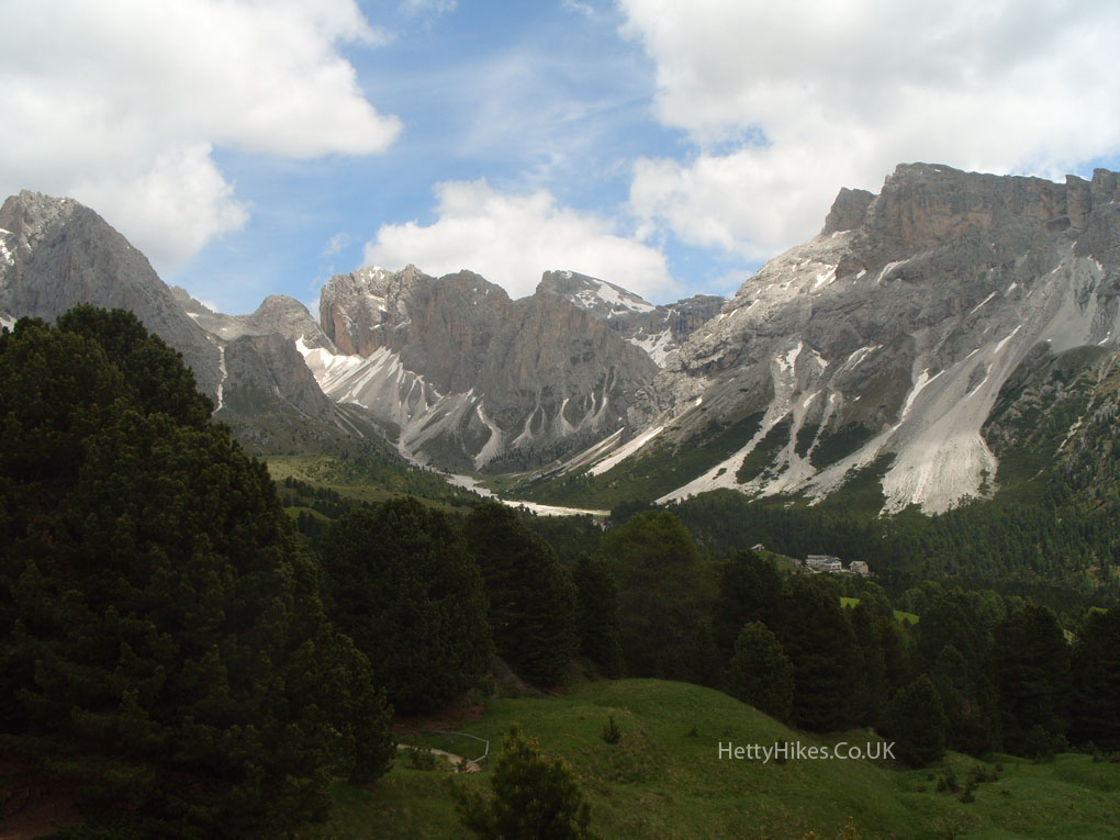
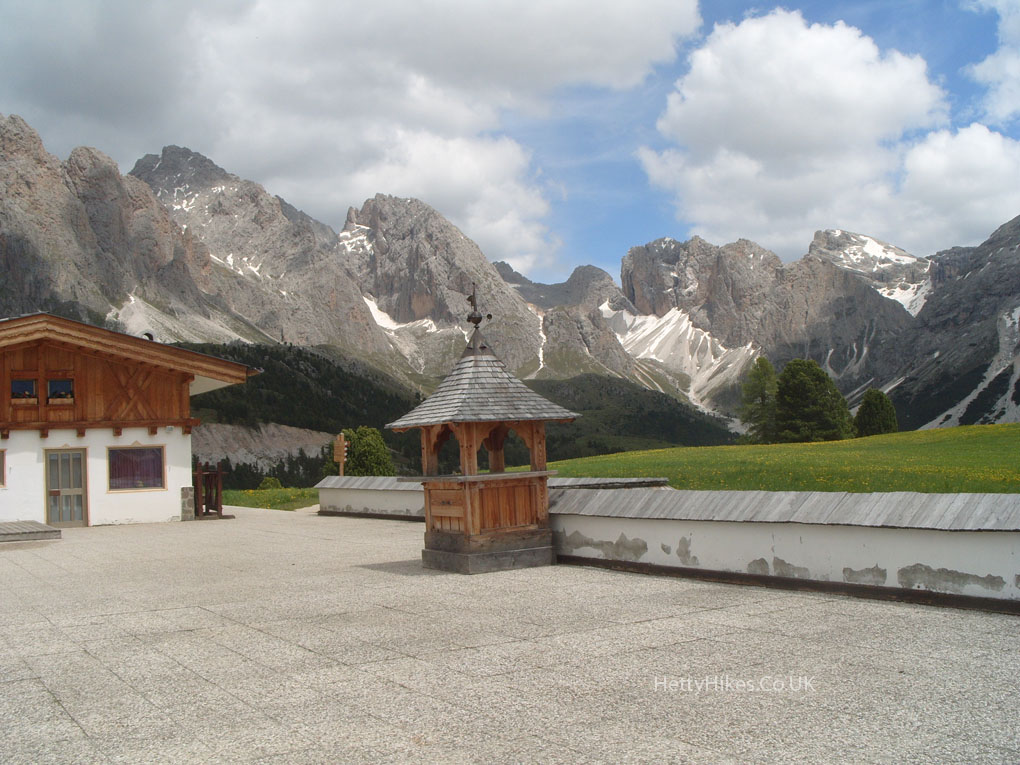
As it was cloudy at the top on Monday, and we had a cable car pass, we went back up to Seceda and down again on Thursday, when the weather was better.
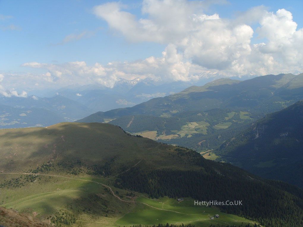
We will go up to that flat green area across the valley next