Liguria, Italy Map of Riviera di Levante, Italy All photos by Hetty
26th April 2015 Introduction to this holiday
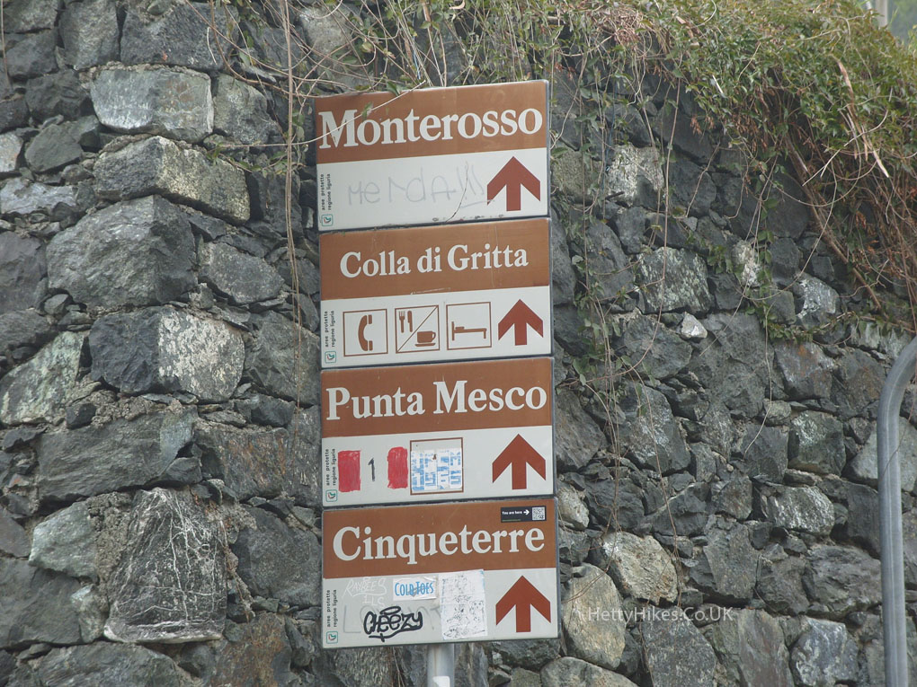
We walked from Levanto (where we were staying) to Monterosso
5 miles, about 3 hours, height gained 305 m = 1,000 feet
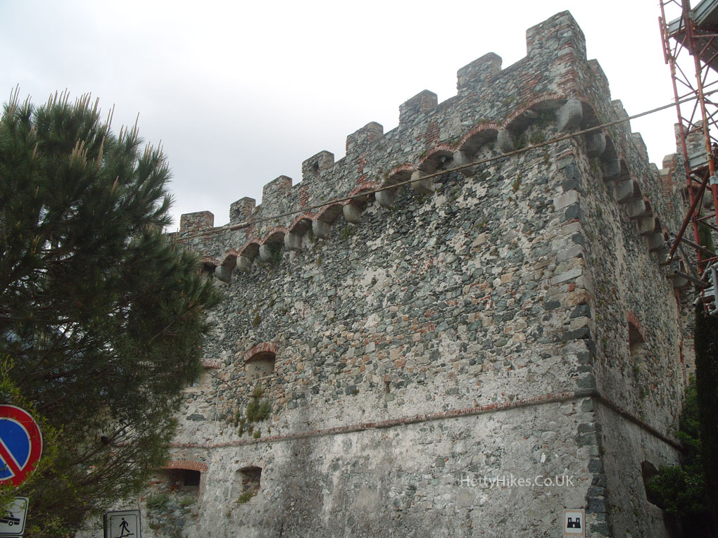
From the sea-front we climbed up steep steps to the castle, then uphill
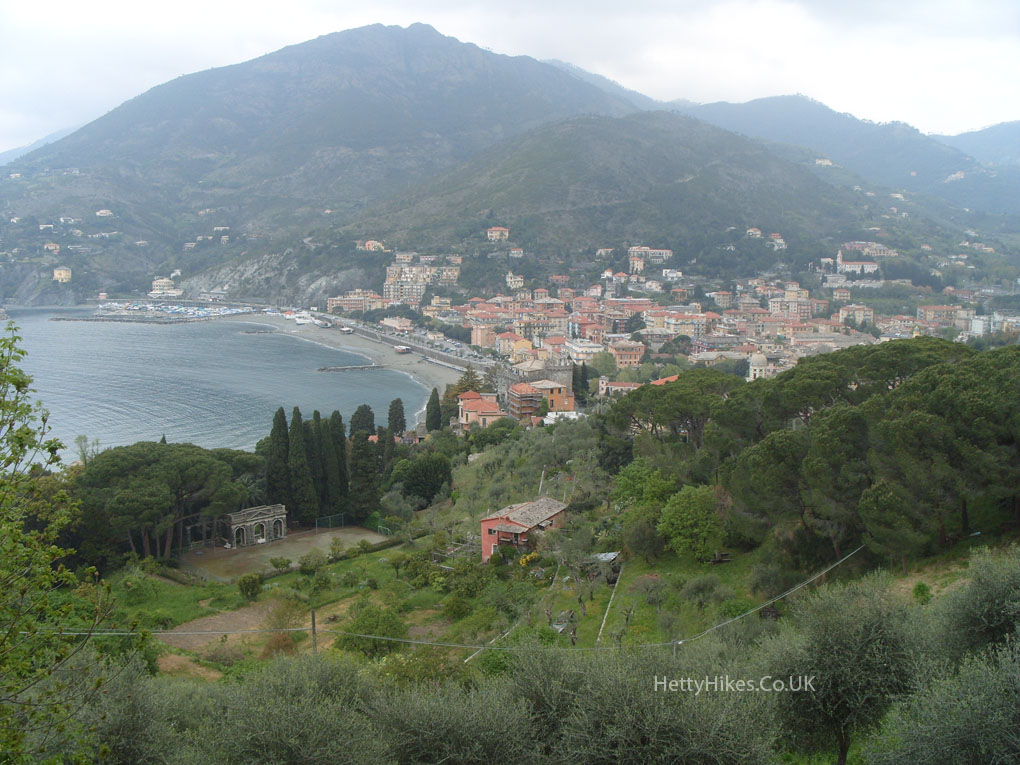
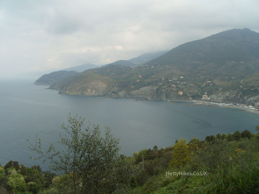
Looking down on Levanto
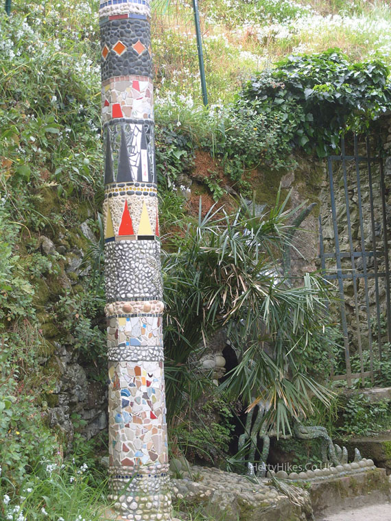
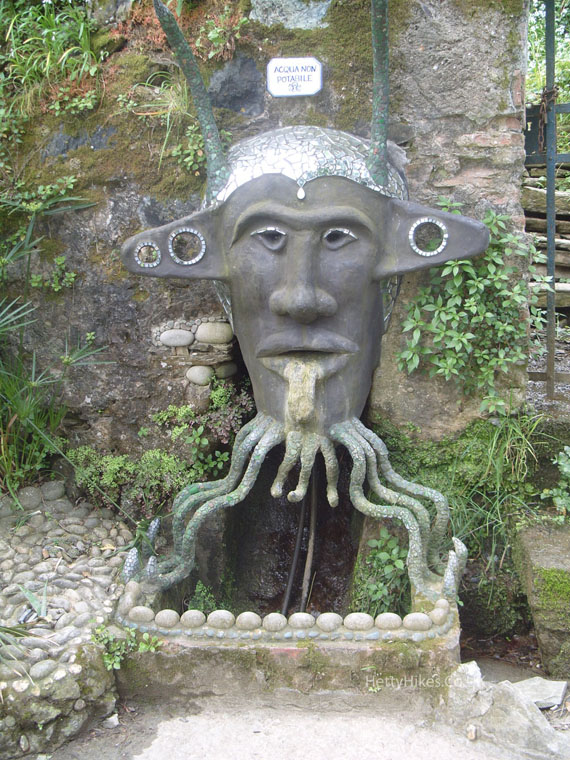
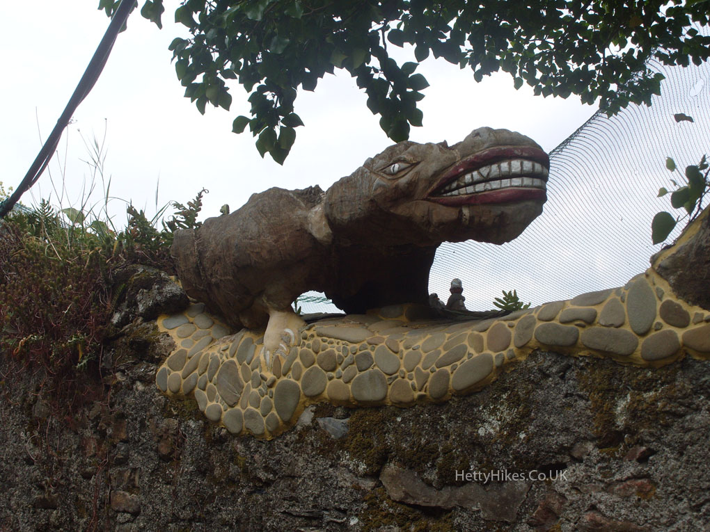
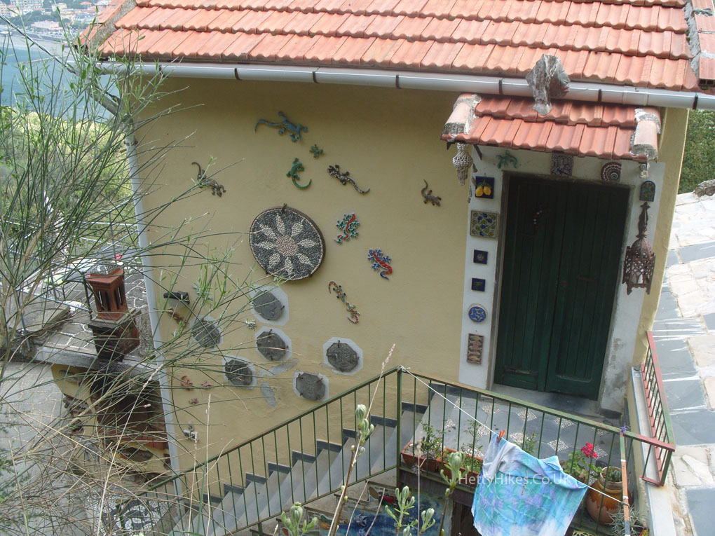
Outside an unusual B&B
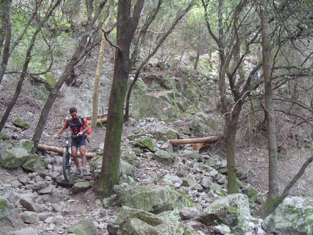
A path maybe, but not a cycle route
Looking back
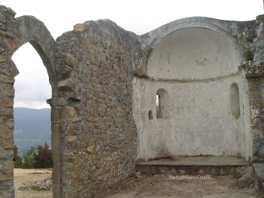
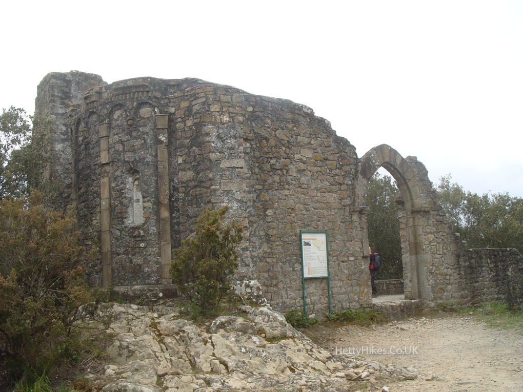
On the top of the Cape of Mesco, there are eleventh century ruins of a small church, dedicated to San Antonio the Prior.
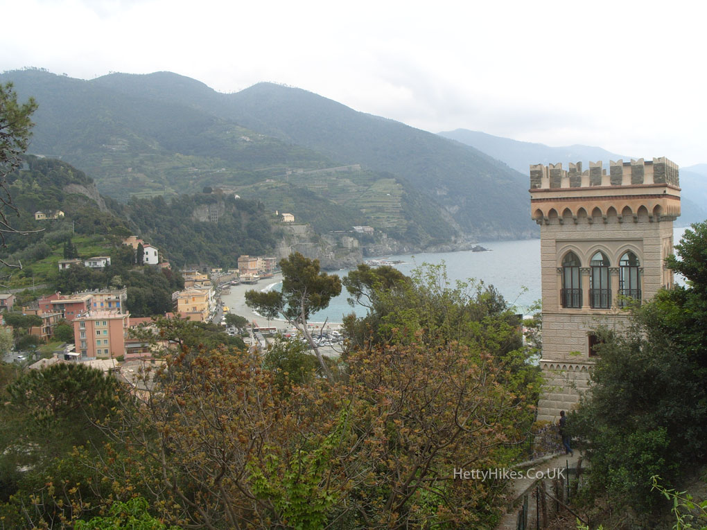
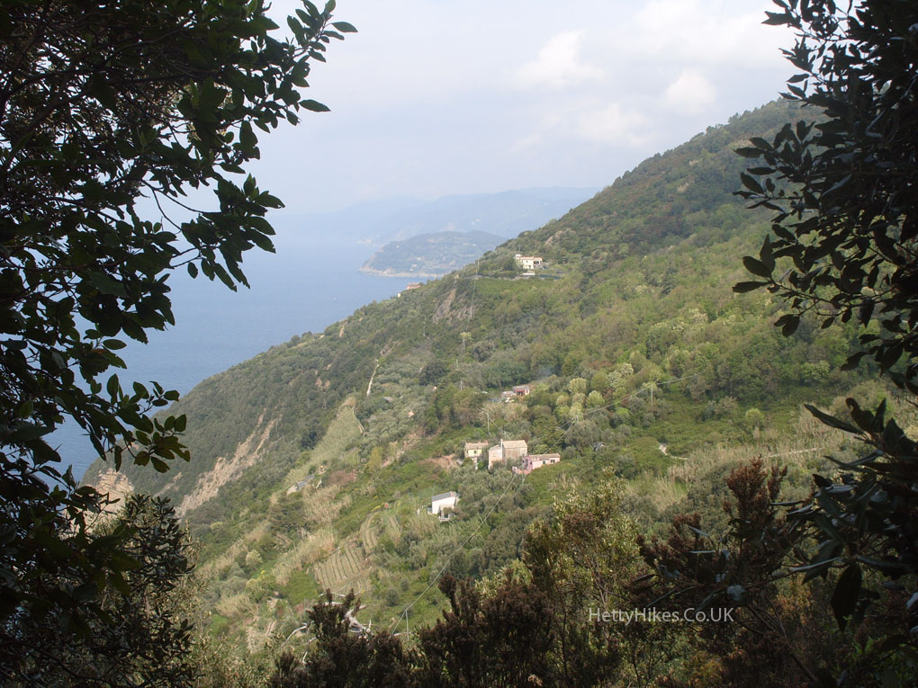
Looking south to the Cinque Terre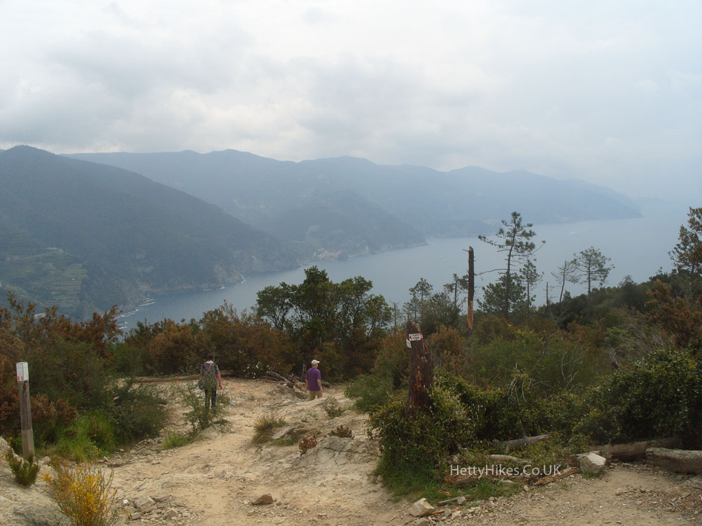
There are steps nearly all the way down to Monterosso- we were glad to be going down, not up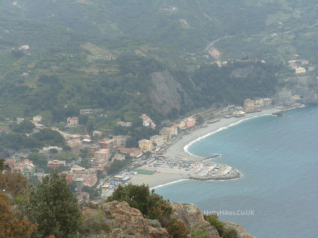
We are getting near the bottom