Lake Garda, Italy Map of Lake Garda
Wednesday 11th June 2014, day 6 All photos by Hetty
Map of walk Distance 7.5 miles Time 5 hours 10 mins
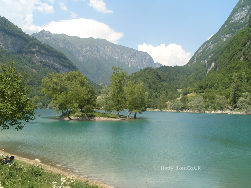
We took a bus from Riva del Garda to Lake Tenno – the blue lake at 665 meters = 2,180 ft above see level – and walked back down to Riva 70m = 230ft
Lago di Tenno was formed by a landslide in about 1100, which blocked the stream.
It was so beautiful and serene.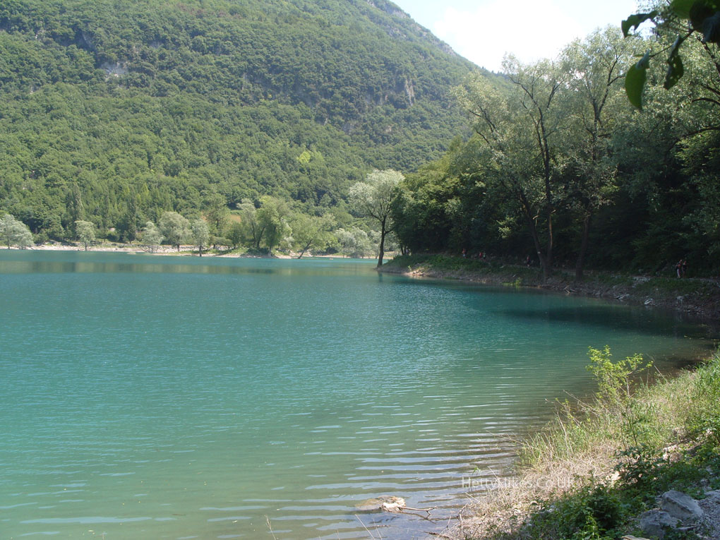
We walked down the mountain.
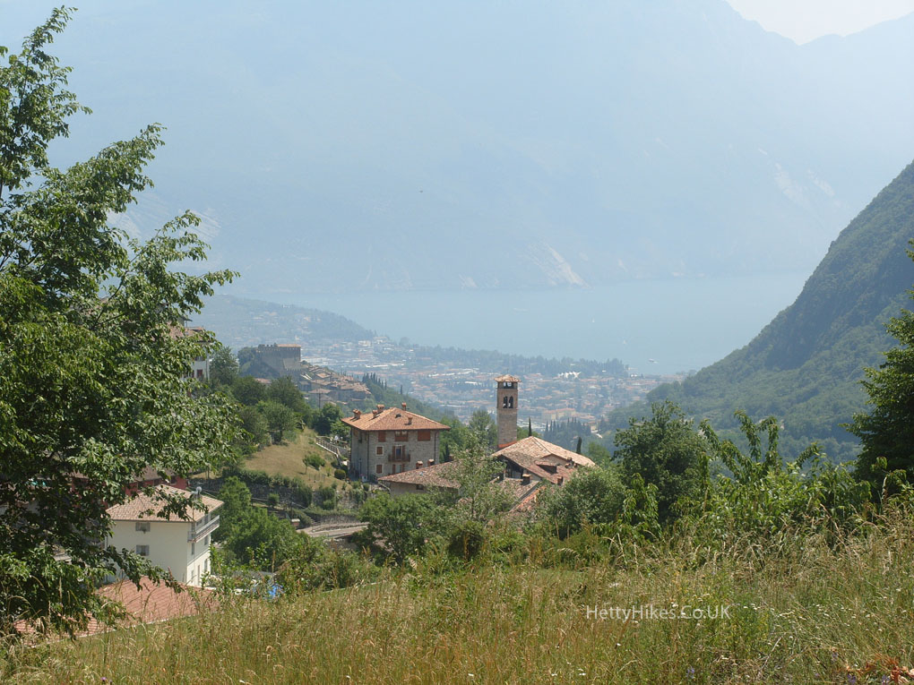
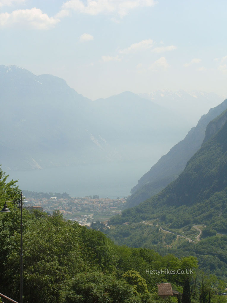
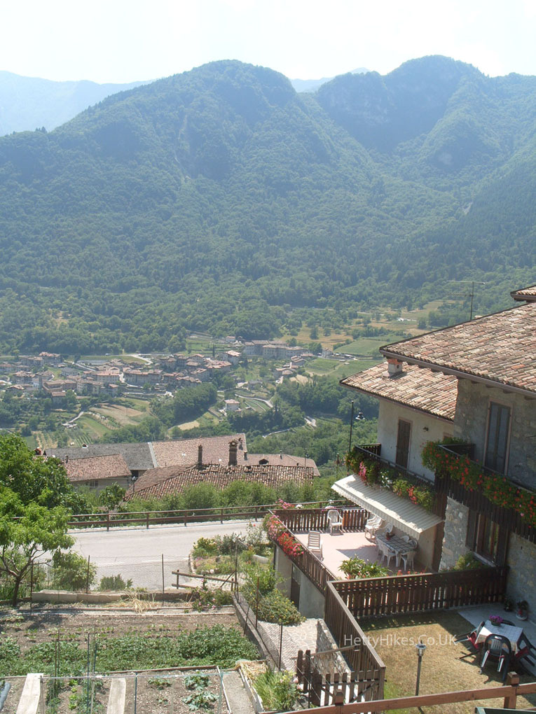
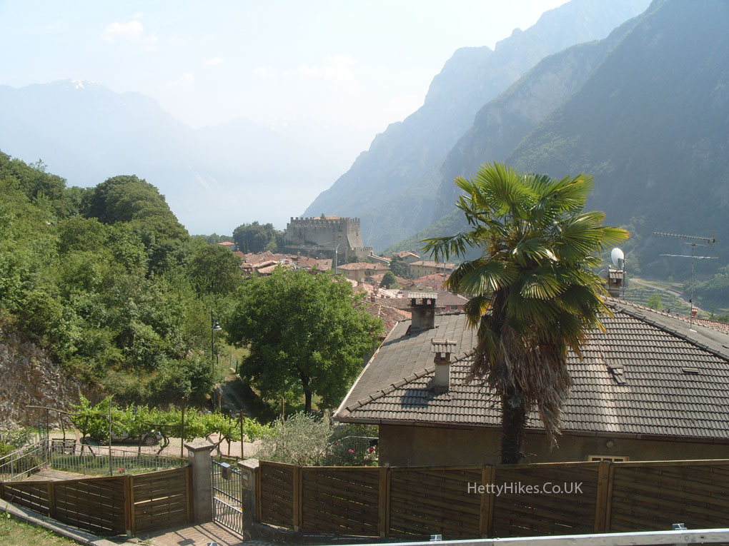
Looking down to the town of Tenno, and Riva on Lake Garda
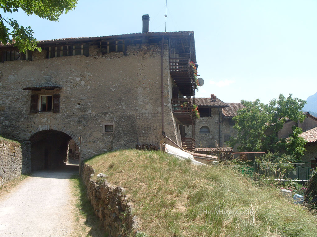
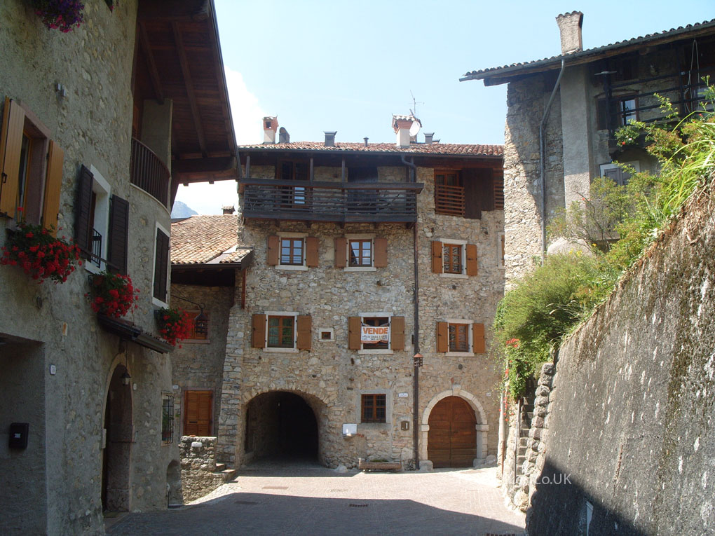
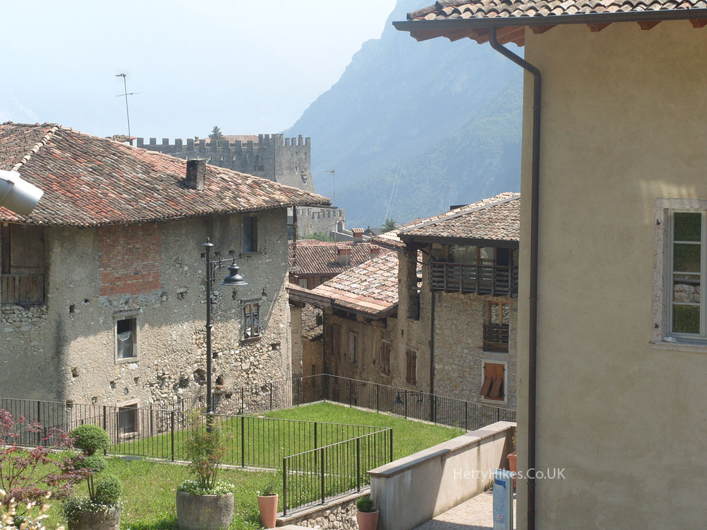
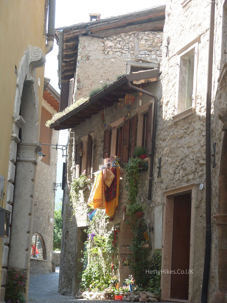
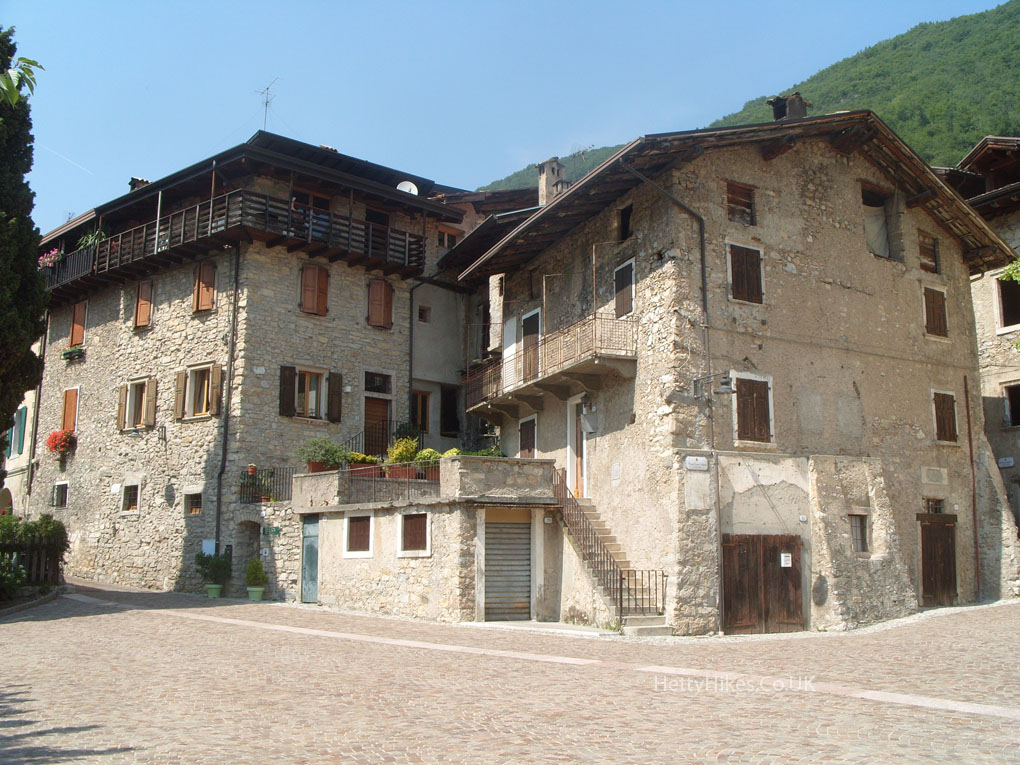
First we came to the village of Canale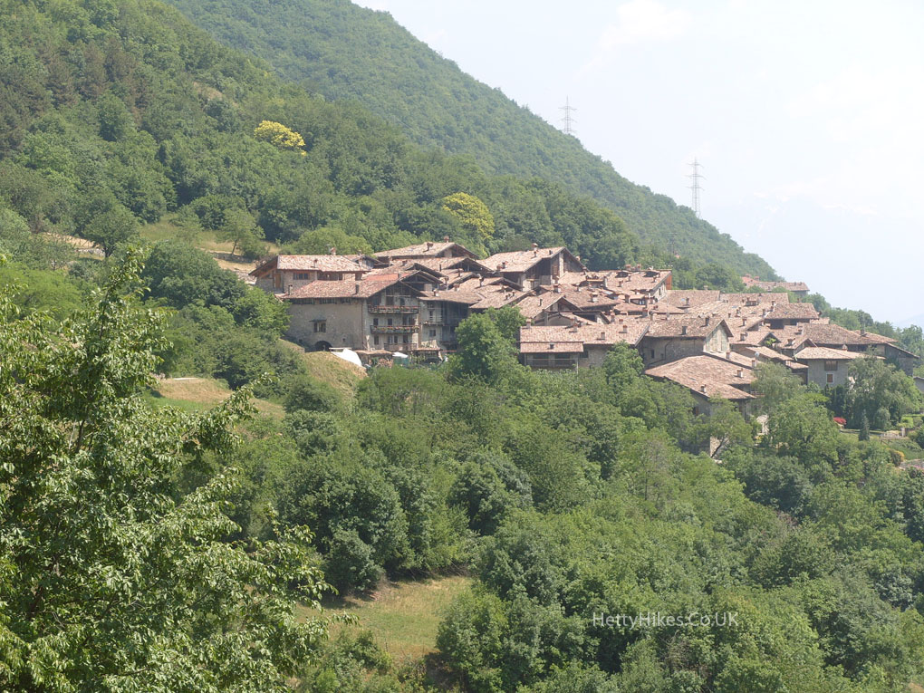
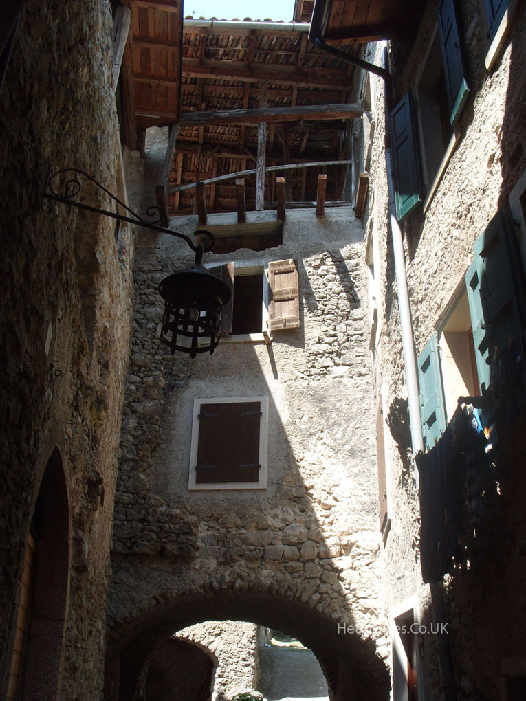
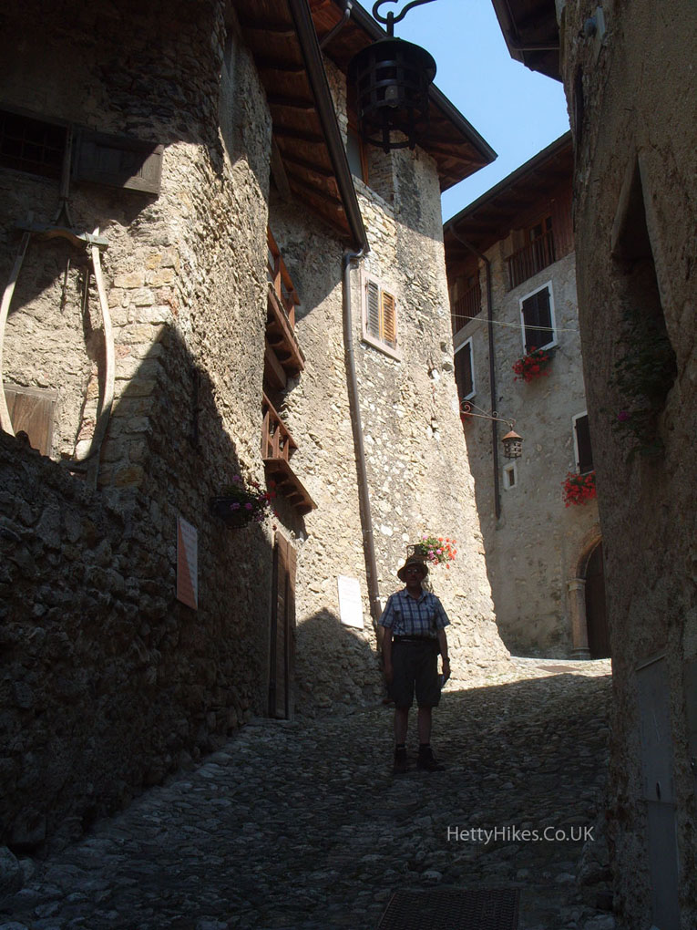
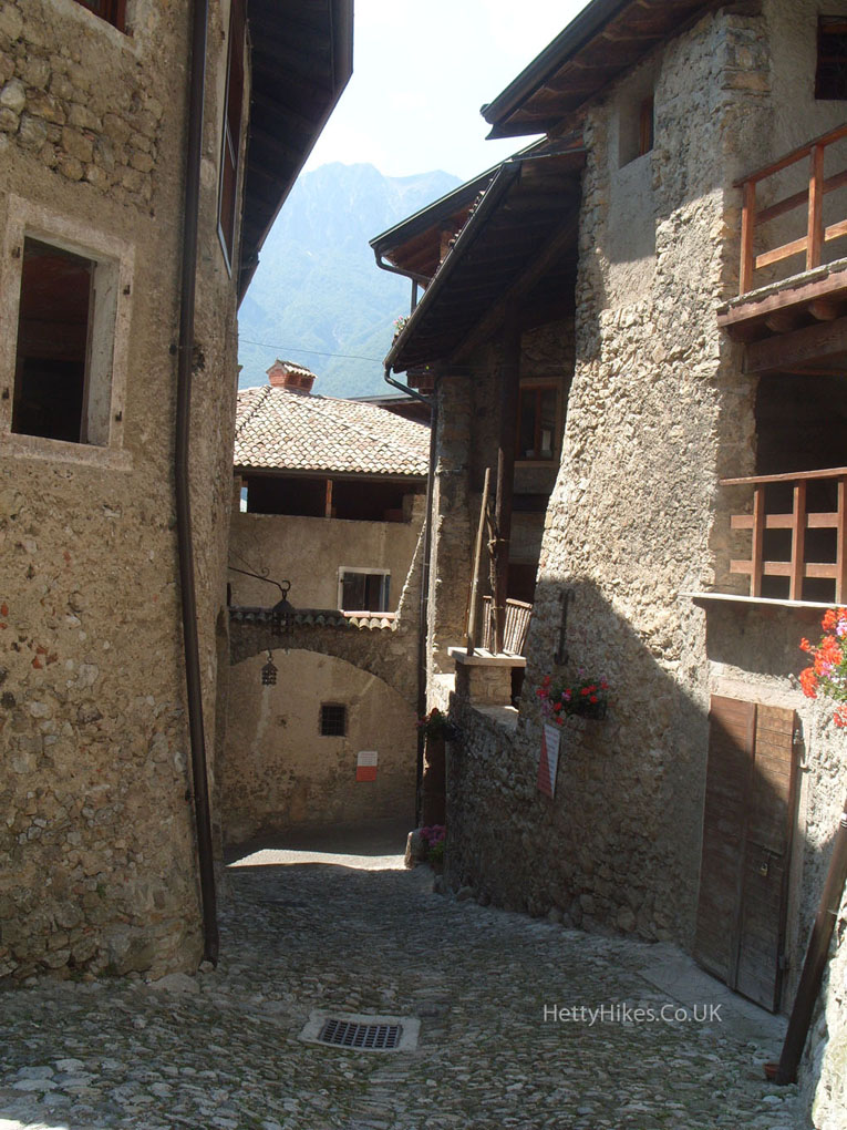
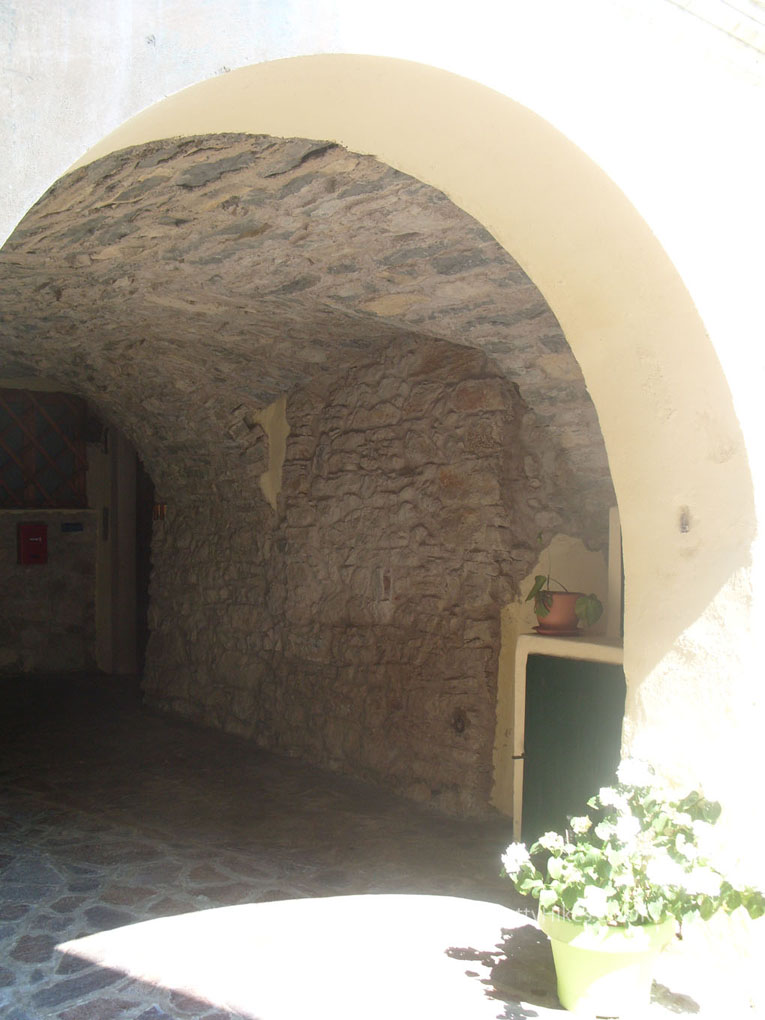
The mediaeval village (its documents date back the the 13th century) of Canale di Tenno is said to be one of the most beautiful in Italy, with its narrow paved alleys, arcades, small squares, and houses set one against the other. It was was abandoned after the war, which is why it is unspoilt, and was revived in the 1960s as an artists centre.
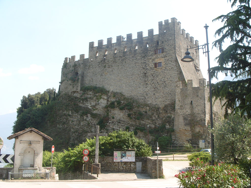
Just outside Canale
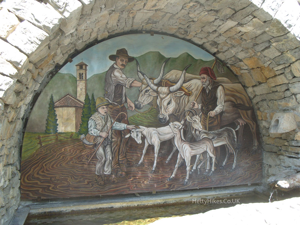
This represents the joining together of communities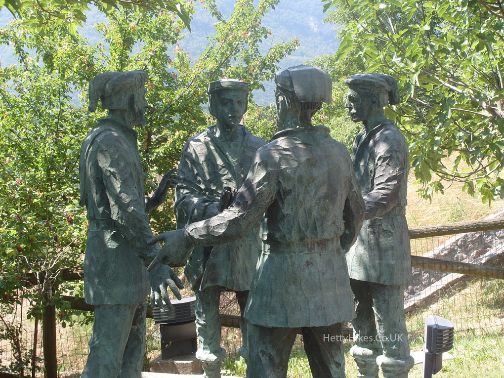
It was very hot the whole week – 35 degrees C here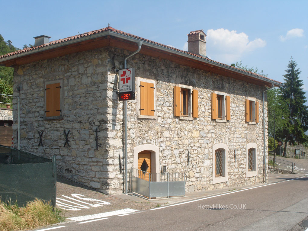
A lot of the paths are very steep. Mr H consults the map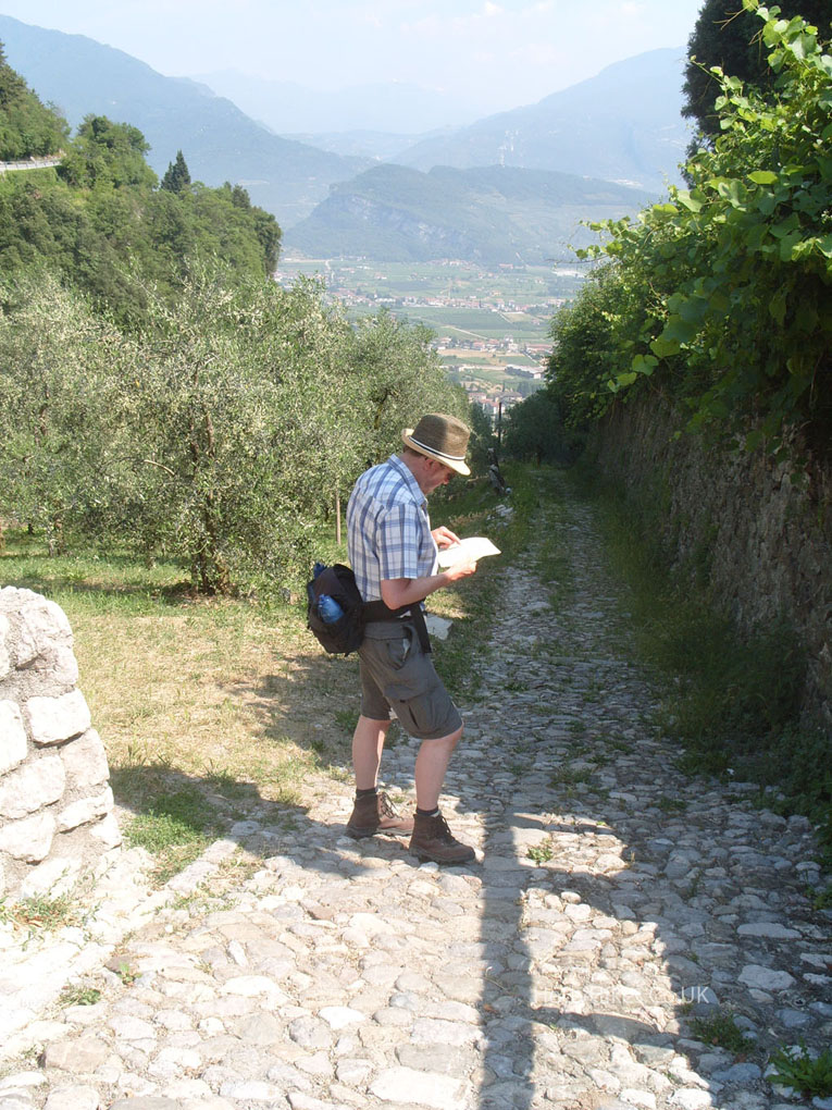 Riva
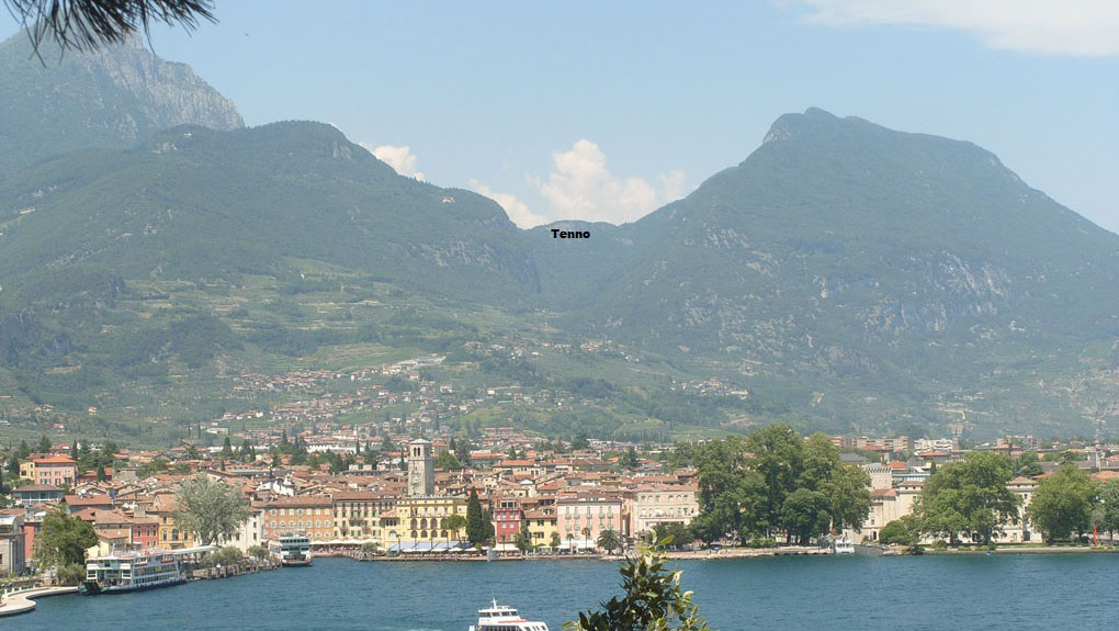
Riva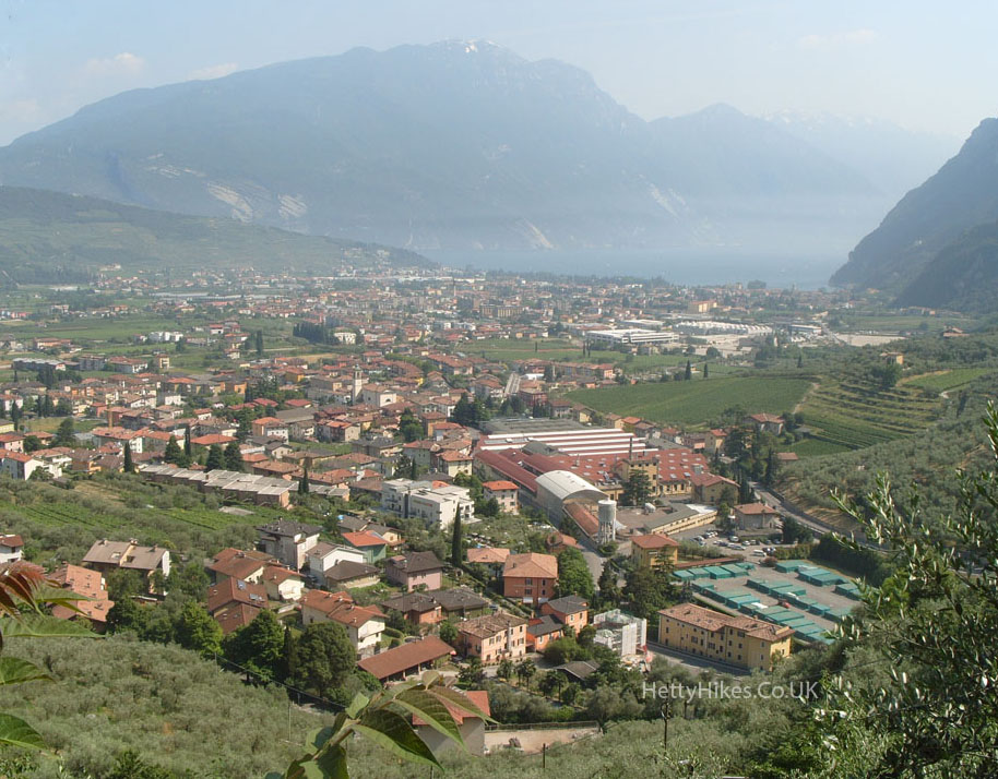
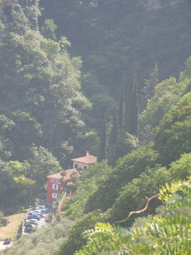
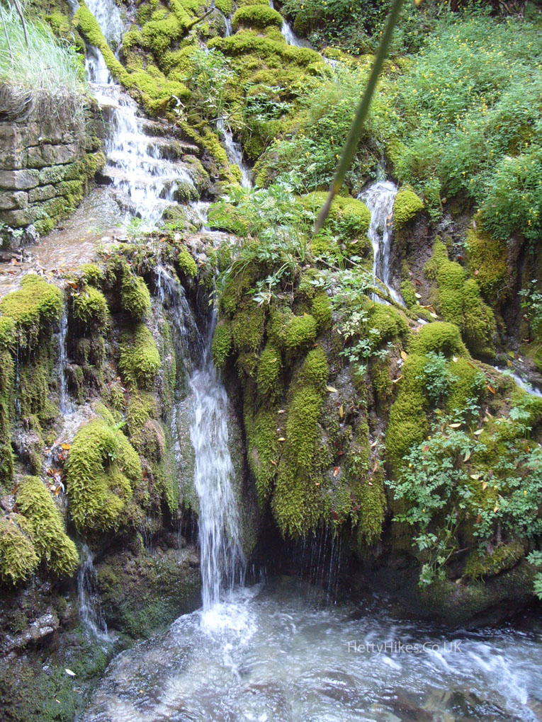
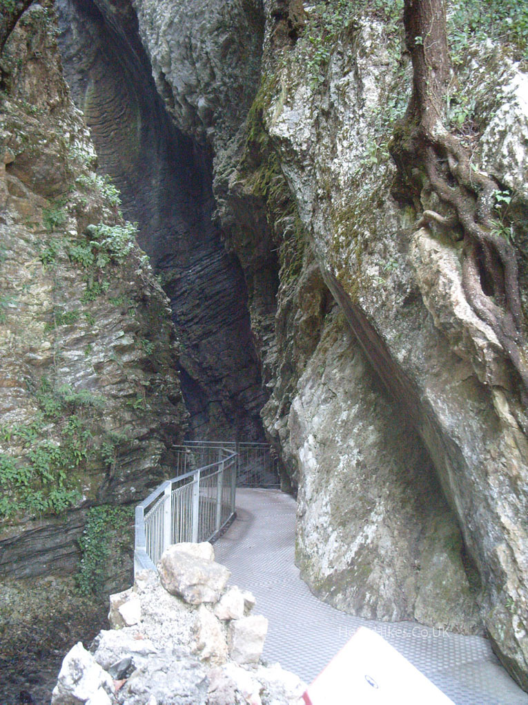
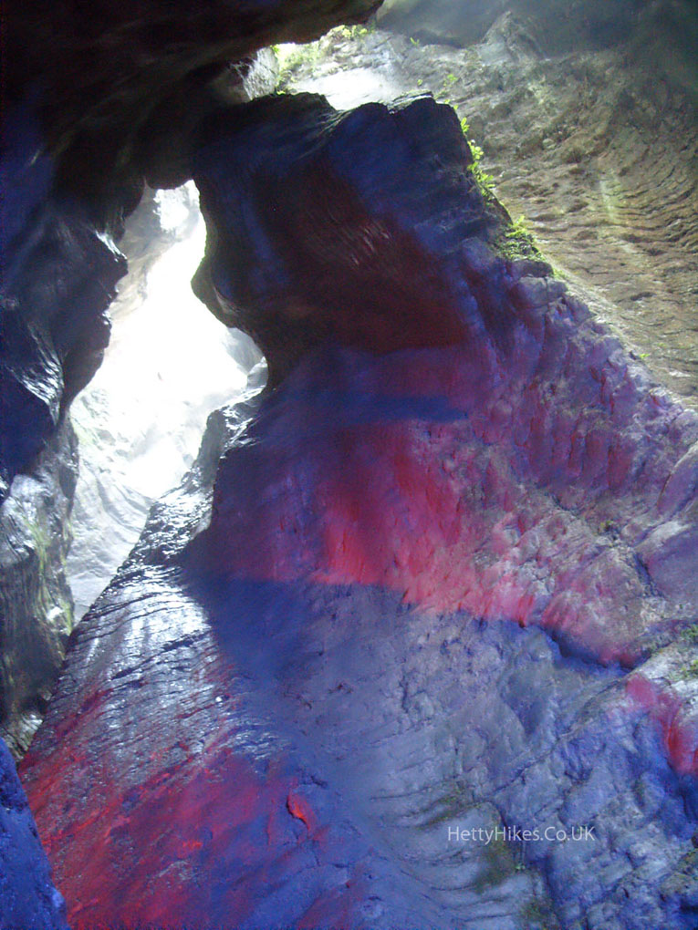
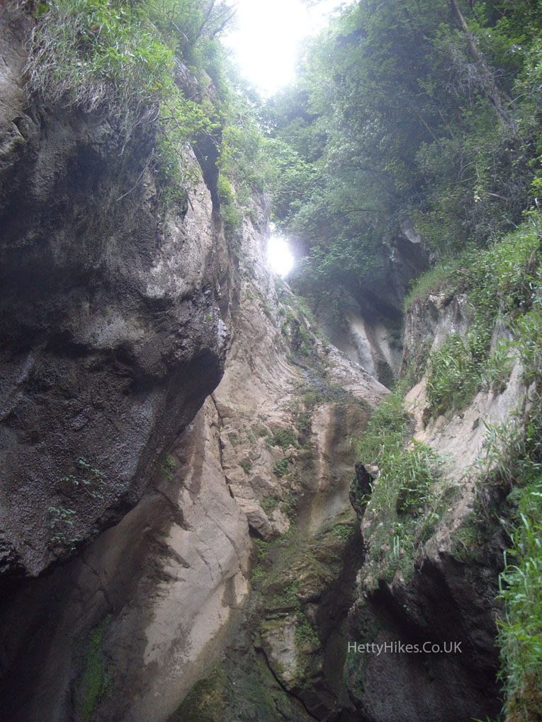
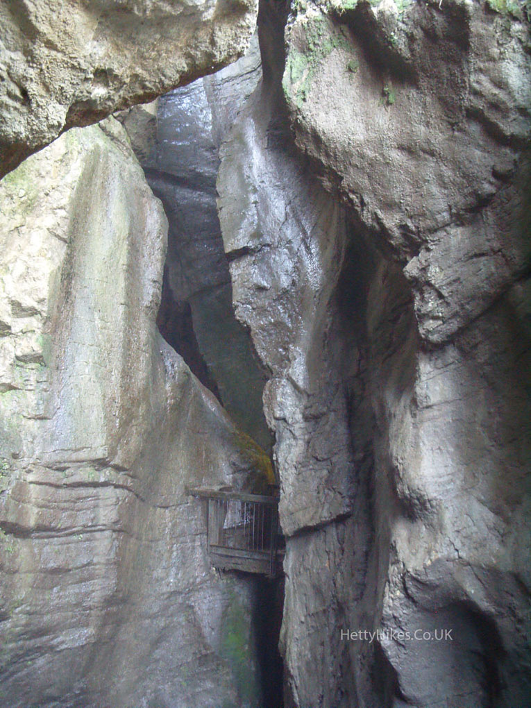
Next stop is down there – Varonne gorge and 90 m waterfall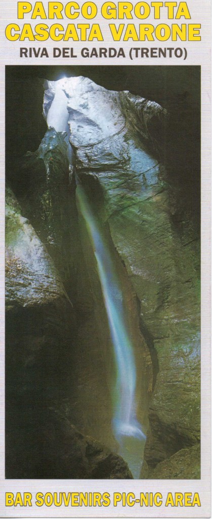
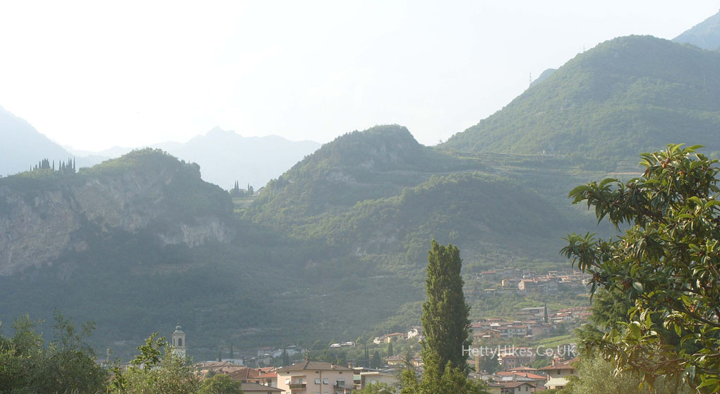
Looking back to where we came from (up on the left)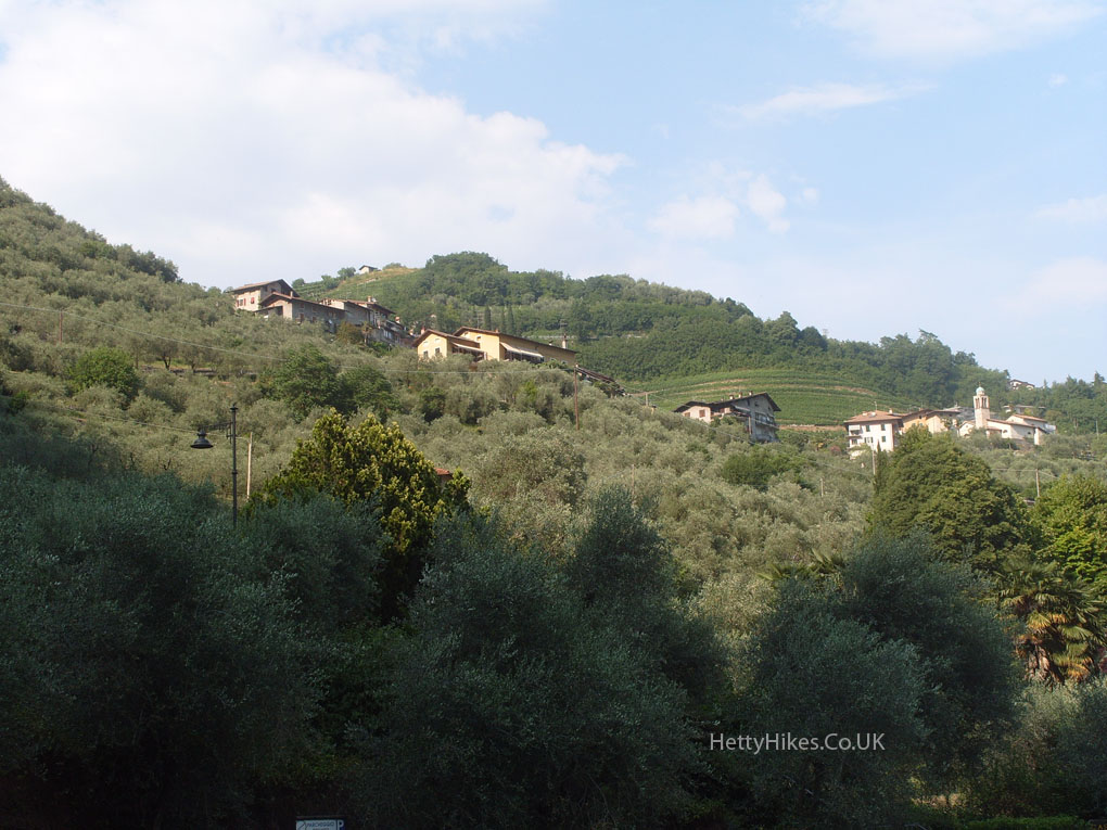
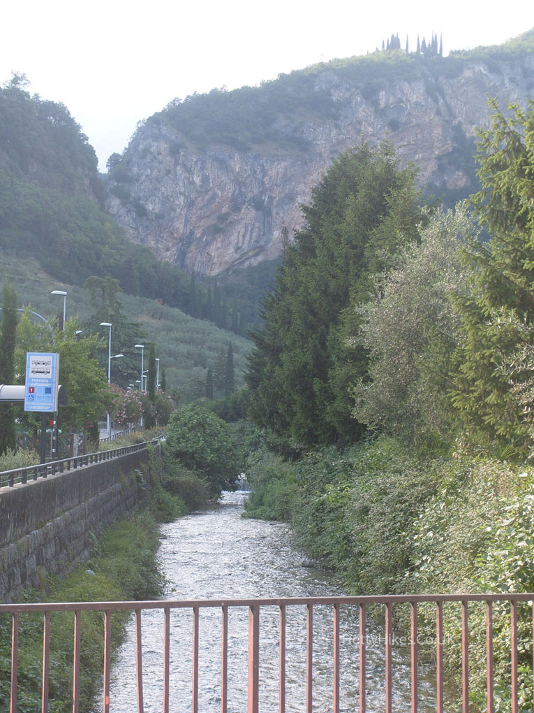
The Varonne river comes from the waterfall. We followed the river to ‘home’
We started from behind the mountain on the right