North-east Italy
September 13th 2016 Photos by Hetty
The Trienste Tourist Office will give you a hiking map for Valrosandra – we followed walk 2.
We took a bus from Trieste high up to Bagnoli Della Rosandra, then followed the road behind the square to Bagnoli Superiore, where the marked hiking trails begin.
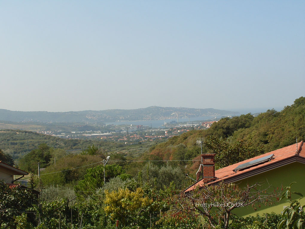
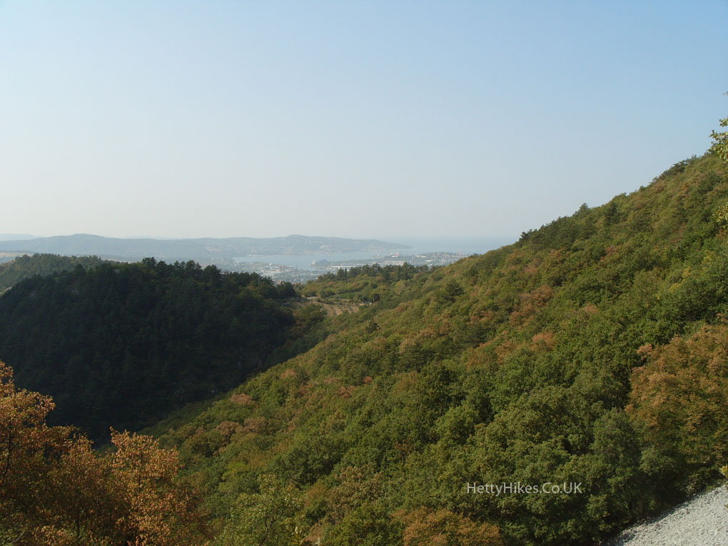
After climbing up a steep trail, there was a wonderful view over Trieste and the sea
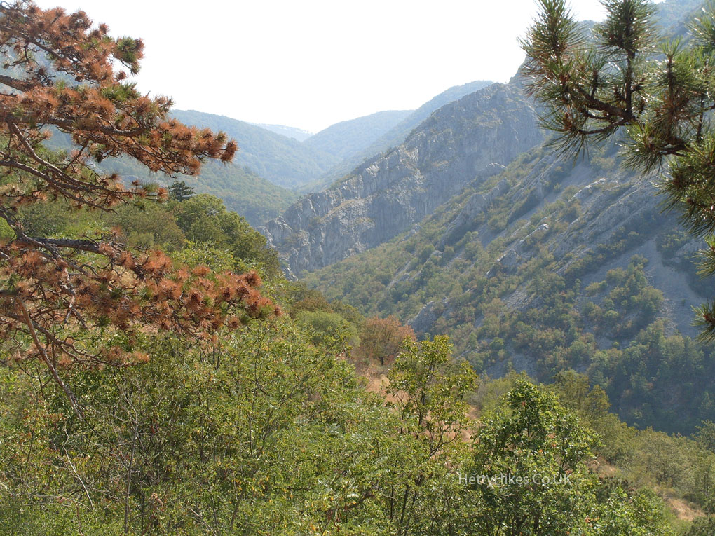
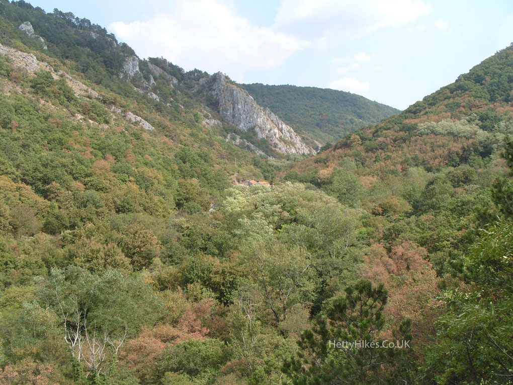
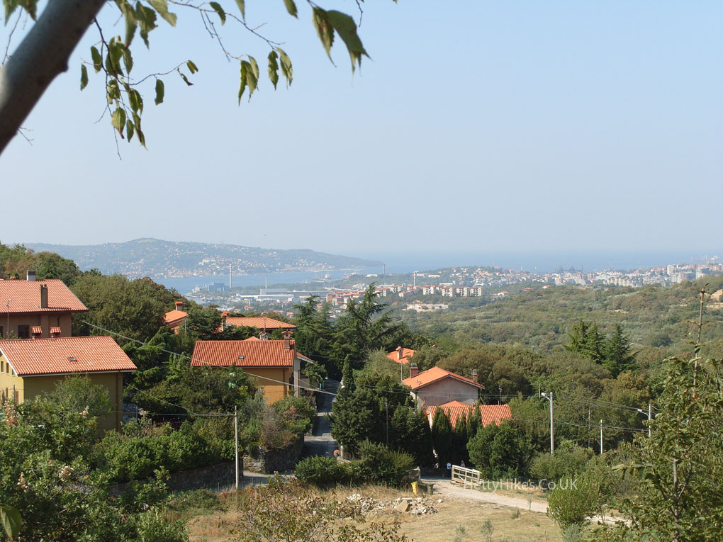 and looking the other way is the Valrosandra, where we are going
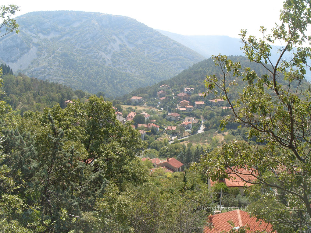
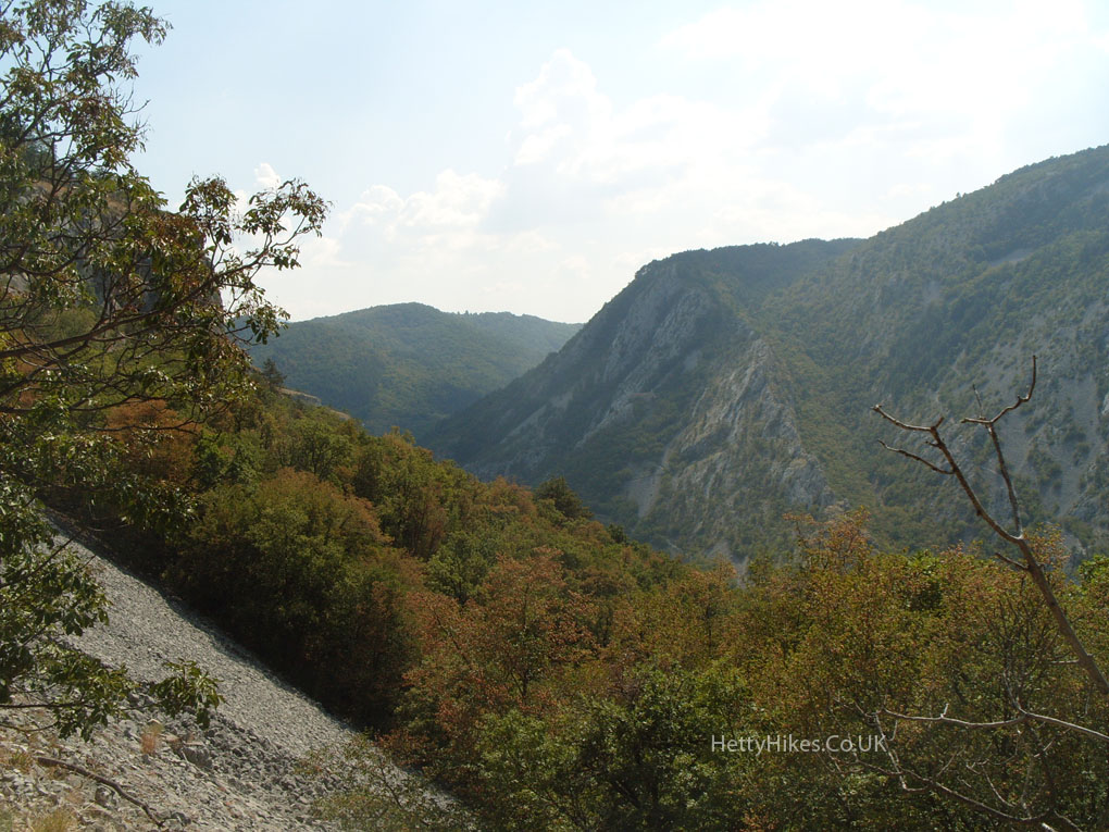 We started where the red-roofed houses are in the centre
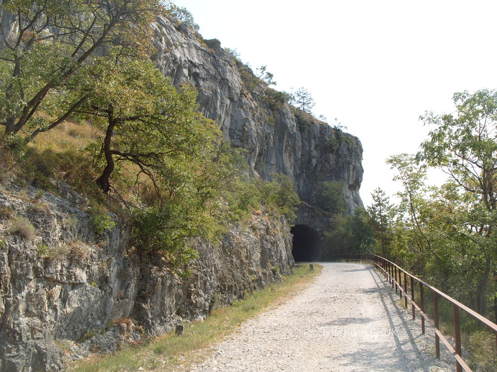
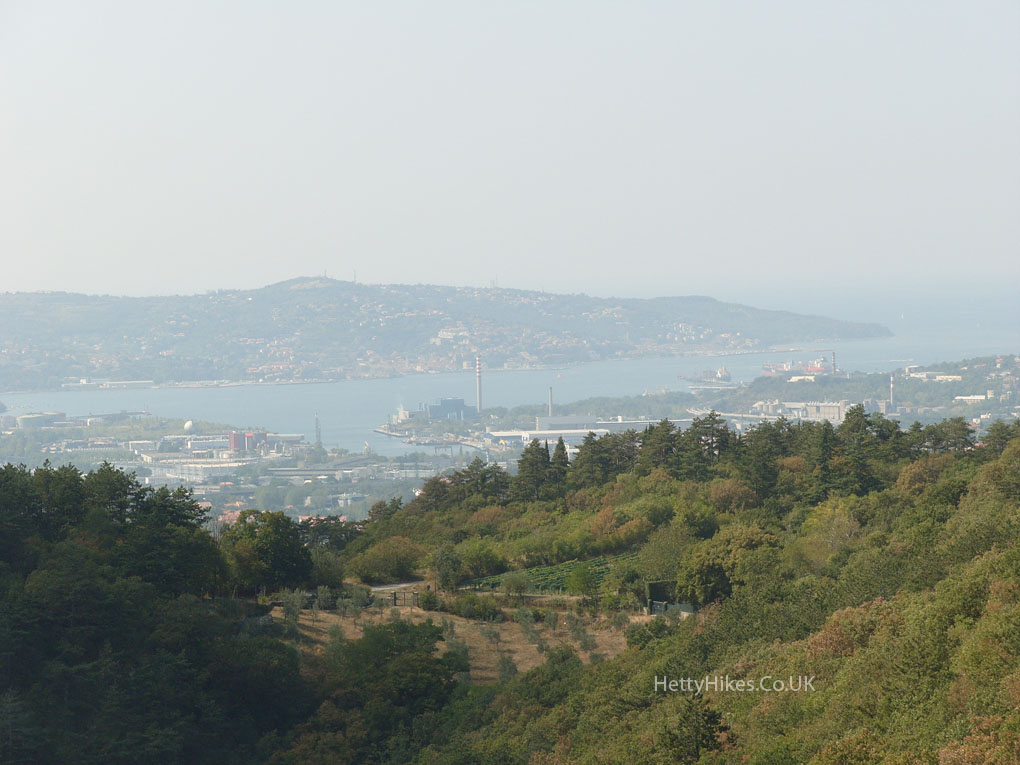 We climbed up to a former railway, now cycle track
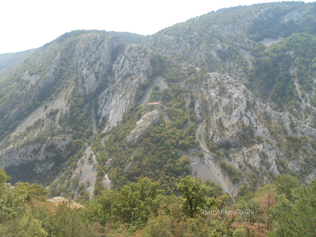
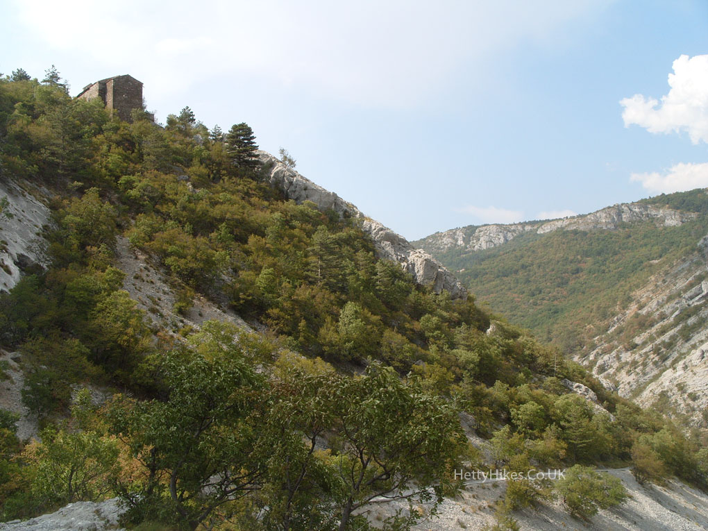
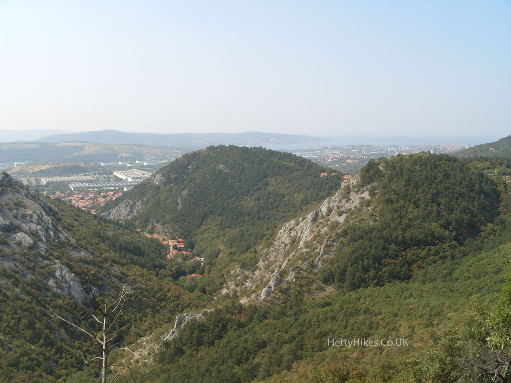 On the opposite side of the valley is the little 14th century sanctuary church of Santa Maria in Siaris (centre photo)- how did they build it there?
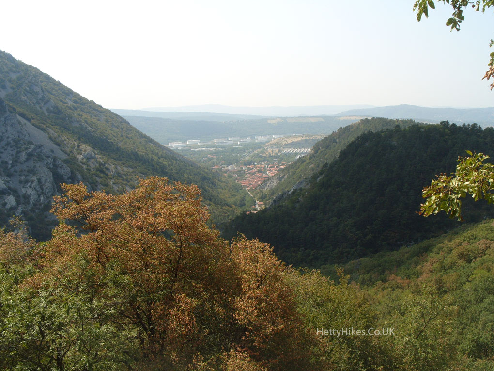
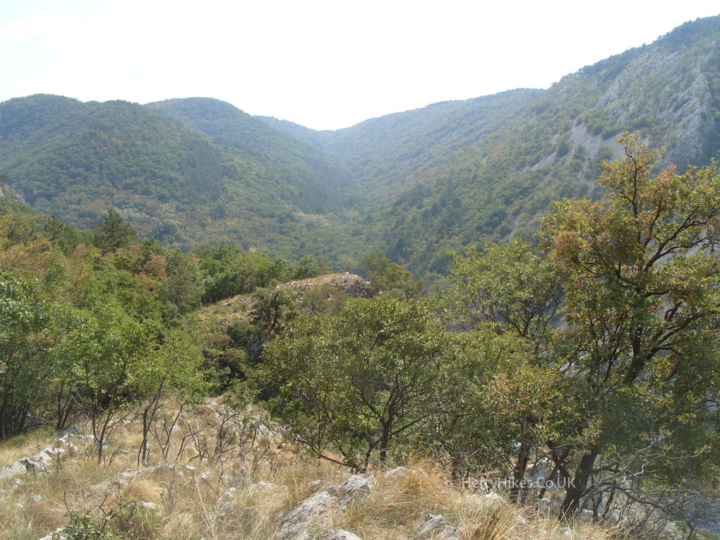 We descended into the valley – the cycle track is high up there!
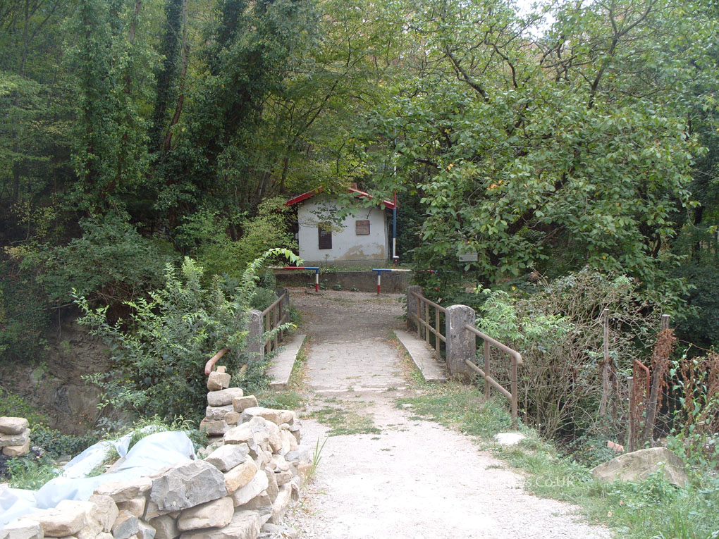
 Former border post on Italy/Slovenian border at Bottazzo
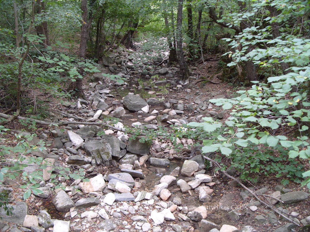
 This is the bed of the Torrente Rosandra – probably is a torrent in winter, but empty today! It is hard to imagine that the stream used to power many water mills
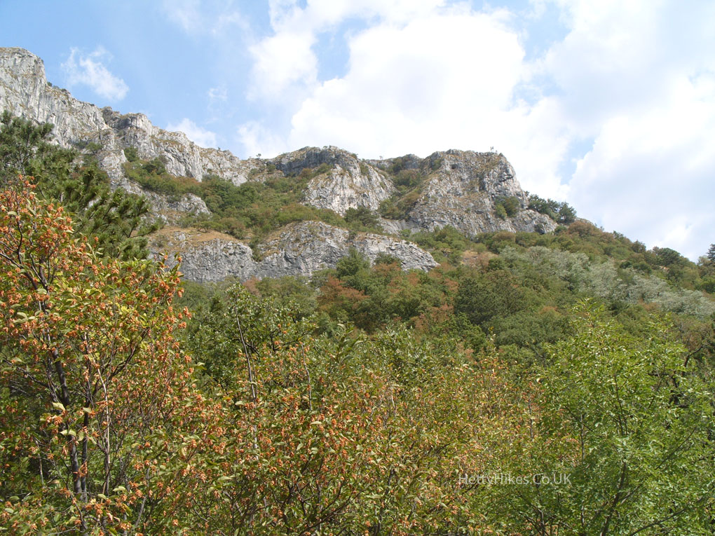
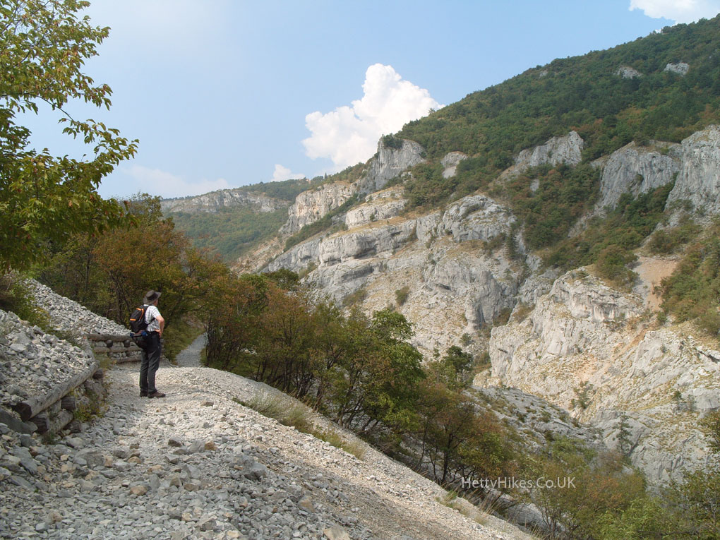
 Mr H looking for the path we walked along, below the top cliff over there
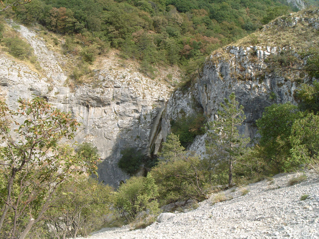
 We nearly missed the 40m waterfall
 That is the little sanctuary we saw from the other side of the valley
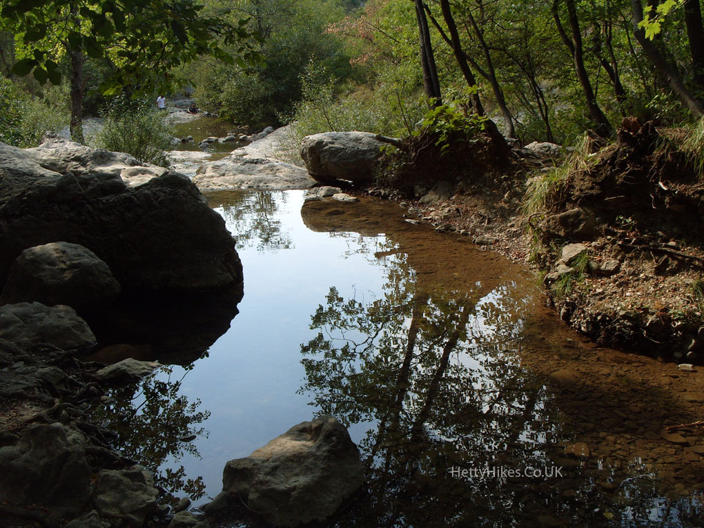
 There are a few pools of water
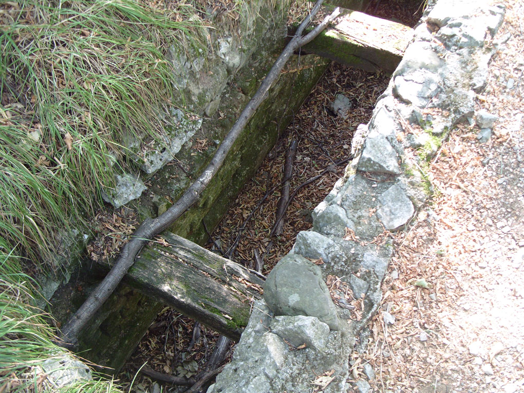
 The remains of a Roman aqueduct that took water to Trieste
Return to introduction to choose more places to see
Trip details (if you are planning a visit – check times):
Train Latisana (8.48) to Trieste (9.46)
Bus 41 Trieste 9.55 to Bagnoli
Bus 40 (10.10) also goes there, but the 41 has a fantastic view over the sea
Return
Bagnoli bus 40 and bus 41 (16.15)
Train Trieste (17.15) to Latisana (18.12)
(the 17.05 train is dearer)

